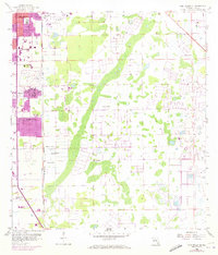
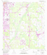
1958 Map of Fort Myers SE
USGS Topo · Published 1973About this map
Fort Myers expands southward across this topographic record, showing the urban transition from residential neighborhoods like Hanson and Fort Myers Villas into the low-lying interior. Central to the local infrastructure is Page Field and the adjacent Page Park, while the transportation corridor of the Seaboard Coast Line railroad dictates the layout of industrial and municipal sites such as the County Home.
Find a feature on this map
17 named features on this map. Tap any name to fly to it.
Don’t see what you’re looking for? This feature index may not catch every label — zoom into the map to look around manually.
Map Details
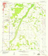
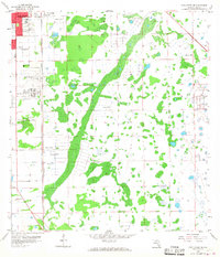
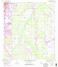
Editions of this 1958 Fort Myers SE Map
5 editions found
Other maps of this area

1956 · West Palm Beach
USGS Topo · 1:250,000

1957 · West Palm Beach
USGS Topo · 1:250,000

1958 · West Palm Beach
USGS Topo · 1:250,000

1958 · Corkscrew NW
USGS Topo · 1:24,000

1958 · Fort Myers NW
USGS Topo · 1:24,000

1958 · Estero
USGS Topo · 1:24,000

1958 · Fort Myers SW
USGS Topo · 1:24,000

1958 · Olga
USGS Topo · 1:24,000

1958 · Alva SW
USGS Topo · 1:24,000

1958 · Fort Myers
USGS Topo · 1:24,000