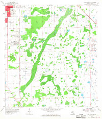
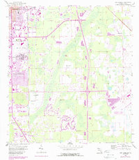
1958 Map of Fort Myers SE
USGS Topo · Published 1968About this map
Fort Myers expanded southward during the late 1950s, a period of transition visible in the residential development of Page Park and Fort Myers Villas. The landscape is defined by the critical infrastructure of the era, notably the Page Airport and the north-south corridor of the Atlantic Coast Line railroad. This survey highlights the local dependence on groundwater, with numerous Flowing Wells and individual Flowing Wells scattered across the low-lying terrain. Community markers like the Jr High Sch, a Drive-in Theater, and the County Home provide concrete evidence of the mid-century social fabric. The presence of Radio Towers (WMYR) and an additional Radio Tower underscores the region's growing communication network as suburban footprints began to encroach upon the surrounding wetlands.
Find a feature on this map
15 named features on this map. Tap any name to fly to it.
Don’t see what you’re looking for? This feature index may not catch every label — zoom into the map to look around manually.
Map Details
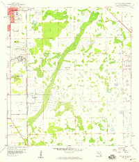
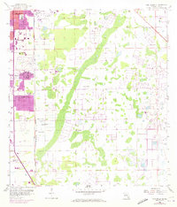
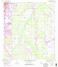
Editions of this 1958 Fort Myers SE Map
5 editions found
Other maps of this area

1956 · West Palm Beach
USGS Topo · 1:250,000

1957 · West Palm Beach
USGS Topo · 1:250,000

1958 · West Palm Beach
USGS Topo · 1:250,000

1958 · Corkscrew NW
USGS Topo · 1:24,000

1958 · Fort Myers NW
USGS Topo · 1:24,000

1958 · Estero
USGS Topo · 1:24,000

1958 · Fort Myers SW
USGS Topo · 1:24,000

1958 · Olga
USGS Topo · 1:24,000

1958 · Alva SW
USGS Topo · 1:24,000

1958 · Fort Myers
USGS Topo · 1:24,000