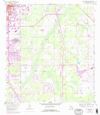
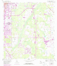
1958 Map of Fort Myers SE
USGS Topo · Published 1988About this map
Page Field and its surrounding infrastructure dominate the western portion of this Lee County landscape, reflecting the post-war expansion of Fort Myers. The transition from a 1950s baseline to late-1980s urban growth is visible through photorevisions, highlighting the emergence of residential developments like Fort Myers Villas and Page Park. The map documents a complex hydrological environment characterized by numerous Flowing Wells, indicating the region's reliance on the artesian aquifer before modern municipal systems were fully established.
Find a feature on this map
19 named features on this map. Tap any name to fly to it.
Don’t see what you’re looking for? This feature index may not catch every label — zoom into the map to look around manually.
Map Details
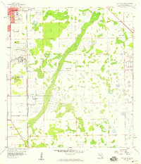
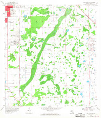
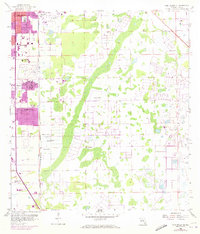
Editions of this 1958 Fort Myers SE Map
5 editions found
Other maps of this area

1956 · West Palm Beach
USGS Topo · 1:250,000

1957 · West Palm Beach
USGS Topo · 1:250,000

1958 · West Palm Beach
USGS Topo · 1:250,000

1958 · Corkscrew NW
USGS Topo · 1:24,000

1958 · Fort Myers NW
USGS Topo · 1:24,000

1958 · Estero
USGS Topo · 1:24,000

1958 · Fort Myers SW
USGS Topo · 1:24,000

1958 · Olga
USGS Topo · 1:24,000

1958 · Alva SW
USGS Topo · 1:24,000

1958 · Fort Myers
USGS Topo · 1:24,000