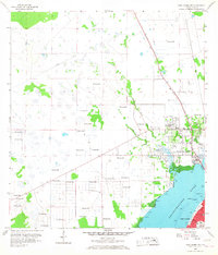
1958 Map of Fort Myers NW
USGS Topo · Published 1968About this map
Caloosahatchee River frontage and the early suburbanization of Lee County characterize this late-1950s landscape. While Fort Myers sits across the water to the south, North Fort Myers appears as a burgeoning community defined by its proximity to the shoreline and the crossing of Hancock Creek. The map documents a transition from rural wetlands to residential development, with the interior still dominated by hydrologic features like the Gator Slough Canal and numerous Flowing Wells. Cultural landmarks like the Drive-in Theater and the State Prison Camp provide a record of land use outside the primary town centers. Local history researchers will find the small settlement of Nelson and the location of the English Sch valuable for tracing the mid-century footprint of the area. Significant industrial activity is also noted through several Shell Pits found toward the western interior.
Find a feature on this map
17 named features on this map. Tap any name to fly to it.
Don’t see what you’re looking for? This feature index may not catch every label — zoom into the map to look around manually.
Map Details
Editions of this 1958 Fort Myers NW Map
5 editions found
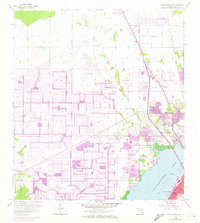
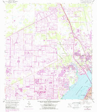
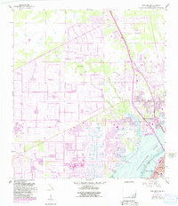
Other maps of this area

1956 · Punta Gorda SE
USGS Topo · 1:24,000

1956 · West Palm Beach
USGS Topo · 1:250,000

1956 · Tampa
USGS Topo · 1:250,000

1956 · Charlotte Harbor
USGS Topo · 1:250,000

1957 · West Palm Beach
USGS Topo · 1:250,000

1957 · Tuckers Corner
USGS Topo · 1:24,000

1957 · Gilchrist
USGS Topo · 1:24,000

1958 · West Palm Beach
USGS Topo · 1:250,000

1958 · Matlacha
USGS Topo · 1:24,000

1958 · Fort Myers NW
USGS Topo · 1:24,000
Featured Places
- Cape Coral, FL
- Fort Myers, FL
- North Fort Myers, FL
- Del Tura Golf & Country Club, FL
- Fountain View Park, FL