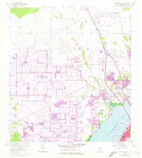
1958 Map of Fort Myers NW
USGS Topo · Published 1973About this map
Cape Coral and North Fort Myers appear in a moment of rapid transformation on this survey, which includes topographic data from 1958 and 1972 revisions. The sprawling suburban grid of Cape Coral is clearly visible, showing the massive engineering required to turn low-lying coastal land into a canal-linked community. Across the Caloosahatchee River, the established streets of Fort Myers connect to regional landmarks like the Edison Park Sch and High Sch.
Find a feature on this map
22 named features on this map. Tap any name to fly to it.
Don’t see what you’re looking for? This feature index may not catch every label — zoom into the map to look around manually.
Map Details
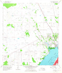
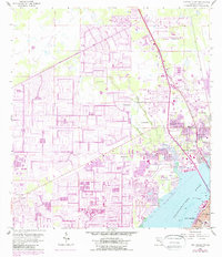
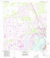
Editions of this 1958 Fort Myers NW Map
5 editions found
Other maps of this area

1956 · Punta Gorda SE
USGS Topo · 1:24,000

1956 · West Palm Beach
USGS Topo · 1:250,000

1956 · Tampa
USGS Topo · 1:250,000

1956 · Charlotte Harbor
USGS Topo · 1:250,000

1957 · West Palm Beach
USGS Topo · 1:250,000

1957 · Tuckers Corner
USGS Topo · 1:24,000

1957 · Gilchrist
USGS Topo · 1:24,000

1958 · West Palm Beach
USGS Topo · 1:250,000

1958 · Matlacha
USGS Topo · 1:24,000

1958 · Fort Myers NW
USGS Topo · 1:24,000
Featured Places
- Cape Coral, FL
- Fort Myers, FL
- North Fort Myers, FL
- Del Tura Golf & Country Club, FL
- Fountain View Park, FL