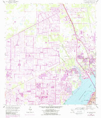
1958 Map of Fort Myers NW
USGS Topo · Published 1988About this map
Cape Coral and North Fort Myers occupy the center of this coastal Florida landscape, where the mid-century expansion of residential canal systems is clearly visible. The drainage network of the Gator Slough Canal and Yellow Fever Creek transitions into more established urban patterns near the Caloosahatchee River. These purple-tinted revisions indicate significant suburban growth occurring between the late 1950s and the 1980s.
Find a feature on this map
25 named features on this map. Tap any name to fly to it.
Don’t see what you’re looking for? This feature index may not catch every label — zoom into the map to look around manually.
Map Details
Editions of this 1958 Fort Myers NW Map
5 editions found
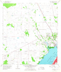
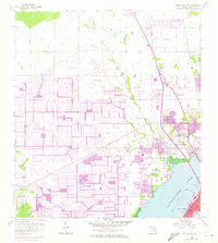
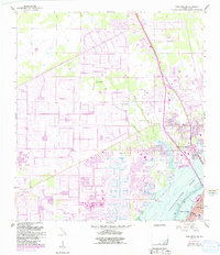
Other maps of this area

1956 · Punta Gorda SE
USGS Topo · 1:24,000

1956 · West Palm Beach
USGS Topo · 1:250,000

1956 · Tampa
USGS Topo · 1:250,000

1956 · Charlotte Harbor
USGS Topo · 1:250,000

1957 · West Palm Beach
USGS Topo · 1:250,000

1957 · Tuckers Corner
USGS Topo · 1:24,000

1957 · Gilchrist
USGS Topo · 1:24,000

1958 · West Palm Beach
USGS Topo · 1:250,000

1958 · Matlacha
USGS Topo · 1:24,000

1958 · Fort Myers NW
USGS Topo · 1:24,000
Featured Places
- Cape Coral, FL
- Fort Myers, FL
- North Fort Myers, FL
- Del Tura Golf & Country Club, FL
- Fountain View Park, FL