2024 Map of Fort Myers SW
USGS Topo · Published 2024About this map
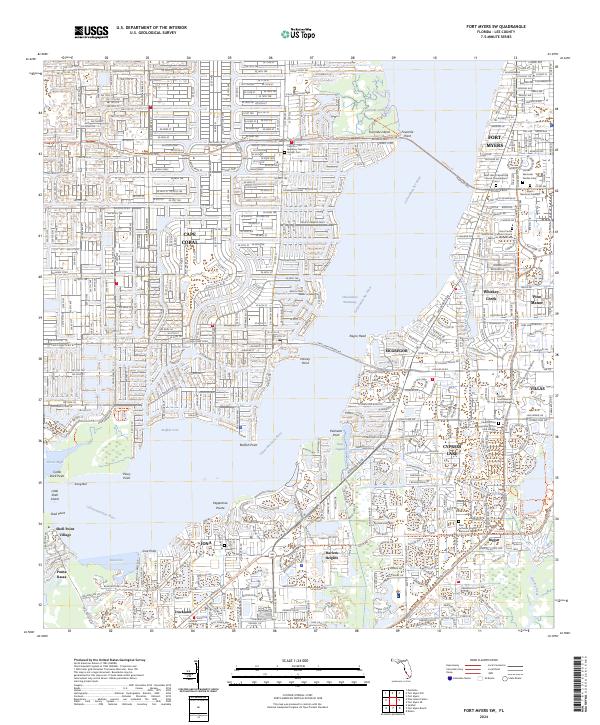
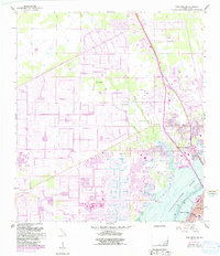
The Caloosahatchee River dominates this coastal Lee County landscape, serving as the primary divide between the developed residential grids of Cape Coral to the west and McGregor and Fort Myers to the east. The map captures a sophisticated network of water-oriented communities and infrastructure, including the Midpoint Brg and Cape Coral Bridge Rd spanning the river. Extensive canal systems are visible within Bimini Basin and the surrounding neighborhoods, reflecting the region's intensive 20th-century water management and suburban expansion.
Find a feature on this map
58 named features on this map. Tap any name to fly to it.
Don’t see what you’re looking for? This feature index may not catch every label — zoom into the map to look around manually.
Map Details
Editions of this 2024 Fort Myers SW Map
This is the sole edition of this map. No revisions or reprints were ever made.
Historical Maps of Old McGregor Estates Through Time
16 maps found
1958 Alva SE
Lee County, FL
1958 Alva SW
Lee County, FL
1958 Corkscrew NW
Lee County, FL
1958 Fort Myers NW
Lee County, FL
1958 Fort Myers SE
Lee County, FL
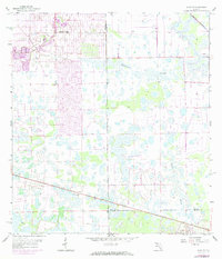
1958 Fort Myers SW
Lee County, FL
1958 Port Boca Grande
Lee County, FL
1958 Wulfert
Lee County, FL
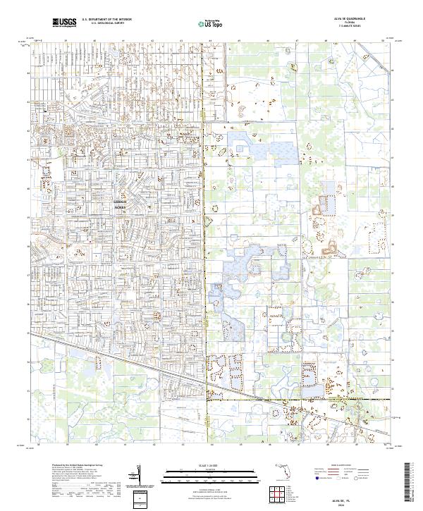
2024 Alva SE
Lee County, FL
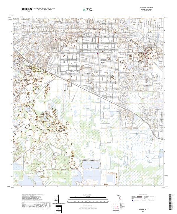
2024 Alva SW
Lee County, FL
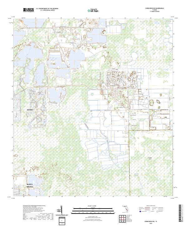
2024 Corkscrew NW
Lee County, FL
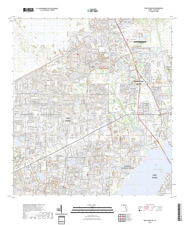
2024 Fort Myers NW
Lee County, FL
2024 Fort Myers SE
Lee County, FL
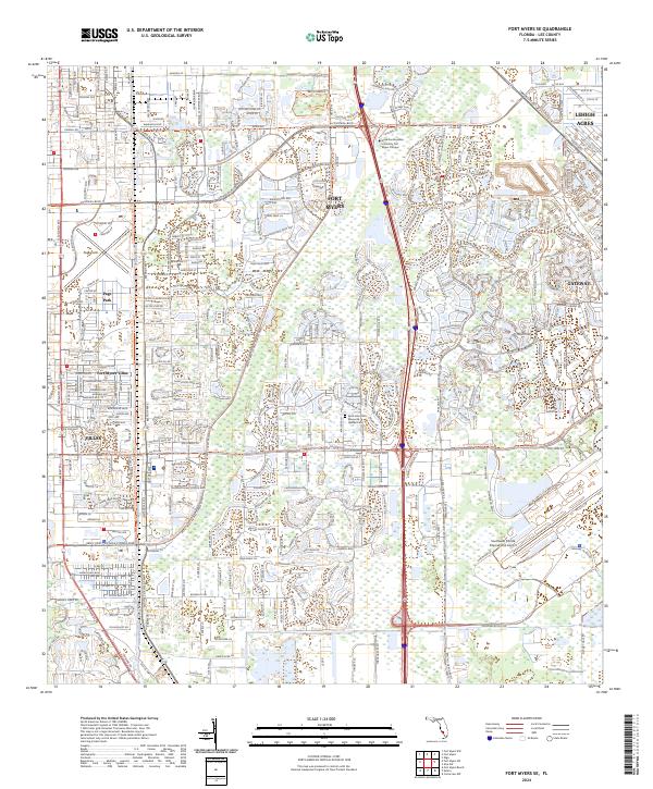
2024 Fort Myers SW
Lee County, FL
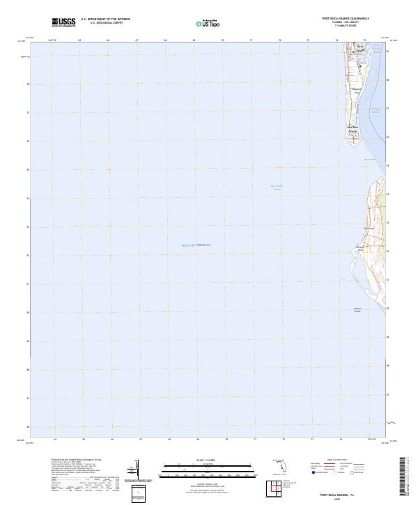
2025 Port Boca Grande
Lee County, FL
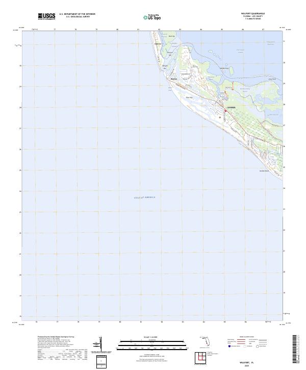
2025 Wulfert
Lee County, FL