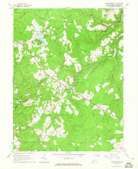
1964 Map of Fort Necessity
USGS Topo · Published 1965About this map
Braddocks Grave State Park and Fort Necessity State Park anchor this portion of the Laurel Highlands, marking significant colonial-era sites along the historic National Road. The 1964 terrain reveals a landscape of deep ridges and valleys defined by Chestnut Ridge and the winding Youghiogheny River at the northeastern corner. Small settlements like Farmington and Chalkhill serve as hubs between sprawling tracts of the Forbes State Forest and State Game Lands No 51.
Find a feature on this map
64 named features on this map. Tap any name to fly to it.
Don’t see what you’re looking for? This feature index may not catch every label — zoom into the map to look around manually.
Map Details
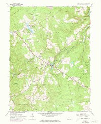
Editions of this 1964 Fort Necessity Map
2 editions found
Other maps of this area

1900 · Accident
USGS Topo · 1:62,500

1900 · Uniontown
USGS Topo · 1:62,500

1904 · Bruceton
USGS Topo · 1:62,500

1922 · Confluence
USGS Topo · 1:62,500

1926 · Bruceton
USGS Topo · 1:62,500

1931 · Uniontown
USGS Topo · 1:62,500

1931 · Confluence
USGS Topo · 1:62,500

1931 · Bruceton Mills
USGS Topo · 1:62,500

1933 · Confluence
USGS Topo · 1:62,500

1933 · Bruceton
USGS Topo · 1:62,500
Featured Places
- Farmington, Wharton Township
- Chalkhill, Wharton Township
- North Union Township, PA
- Spring Valley Bruderhof, Wharton Township
- Wharton Township, PA