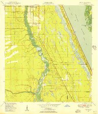
1953 Map of Fort Pierce SW
USGS Topo · Published 1983About this map
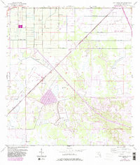
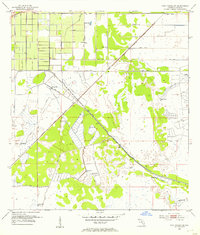
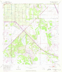
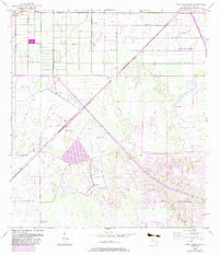
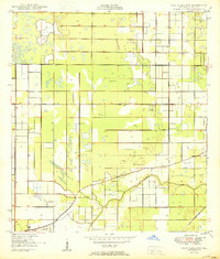
Port St Lucie takes shape in this mid-century landscape, showing the early infrastructure of St. Lucie County before its massive residential expansion. The map reveals a land defined by water management and transit, where the Florida East Coast rail line and Florida's Turnpike (Toll Road) cut through a terrain of numerous drainage features. A network of engineering projects is evident, including the Rim Ditch, the Header watercourse, and several instances of Spoil Bank and Levee construction. This 1953 survey, with its 1983 revisions, captures a transitional era where agricultural drainage and early aviation, marked by a Landing Field, began to give way to suburban planning. Scattered Flowing Wells suggest the importance of groundwater access in this developing coastal region.
Find a feature on this map
14 named features on this map. Tap any name to fly to it.
Don’t see what you’re looking for? This feature index may not catch every label — zoom into the map to look around manually.
Map Details
Editions of this 1953 Fort Pierce SW Map
4 editions found
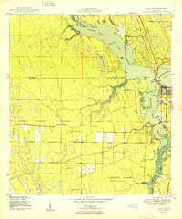
Other maps of this area

1948 · Palm City
USGS Topo · 1:24,000
1948 · Ankona
USGS Topo · 1:24,000
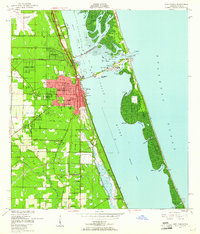
1949 · Fort Pierce
USGS Topo · 1:24,000

1949 · Fort Pierce NW
USGS Topo · 1:24,000

1950 · Ankona
USGS Topo · 1:24,000
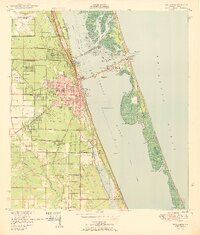
1950 · Fort Pierce
USGS Topo · 1:24,000
1950 · Palm City
USGS Topo · 1:24,000
1950 · Fort Pierce NW
USGS Topo · 1:24,000
1953 · Okeechobee 1 SE
USGS Topo · 1:24,000
1953 · Okeechobee 4 NE
USGS Topo · 1:24,000