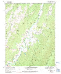
1969 Map of Fort Seybert
USGS Topo · Published 1989About this map
The South Fork Potomac River carves a central valley through the Appalachian ridges of Pendleton County, West Virginia, and Rockingham County, Virginia. During this late 1960s survey, the landscape is defined by small riverside settlements and rural congregations, including Fort Seybert, Oak Flat, and Brandywine. Significant local history is preserved in the locations of country churches such as Fairview Bethel Ch, Mt Zion Ch, and New Bethlehem Ch. The topography is dominated by massive parallel ridges like Shenandoah Mountain and Rocky Mountain, with lower gaps and hollows serving as the primary corridors for transport. Several water control structures, such as Dam No 21 and Dam No 10, appear along the various runs, while much of the eastern terrain is protected within the George Washington National Forest.
Find a feature on this map
66 named features on this map. Tap any name to fly to it.
Don’t see what you’re looking for? This feature index may not catch every label — zoom into the map to look around manually.
Map Details
Editions of this 1969 Fort Seybert Map
2 editions found
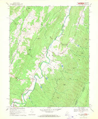
Other maps of this area

1892 · Franklin
USGS Topo · 1:125,000

1896 · Franklin
USGS Topo · 1:125,000

1920 · Petersburg
USGS Topo · 1:48,000

1920 · Onego
USGS Topo · 1:62,500

1921 · Petersburg
USGS Topo · 1:48,000

1921 · Onego
USGS Topo · 1:48,000

1922 · Onego
USGS Topo · 1:62,500

1922 · Fort Seybert
USGS Topo · 1:48,000

1922 · Petersburg
USGS Topo · 1:62,500

1922 · Circleville
USGS Topo · 1:62,500