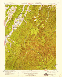
1947 Map of Fort Seybert
USGS Topo · Published 1958About this map
The South Fork Potomac River carves through the central valley of this 1947 topographic study, anchoring a series of small settlements and post offices including Fort Seybert, Fame, and Brandywine. This portion of the George Washington National Forest exhibits a dense concentration of community institutions, with several small rural schools such as the Locust Grove Sch and Cedar Grove Sch serving the local families. The mapping reflects a landscape of deep-rooted homesteads, where churches like New Bethlehem Ch and Bethlehem Ch sit tucked between the high ridges of Tumble Mountain and Cow Knob. Along the southern boundary near Rawley Springs, the Riven Rock Picnic Grounds mark a shift toward recreational use of the forest as the mid-century road network of U. S. 33 and U. S. 220 began to better connect these isolated Potomac highlands.
Find a feature on this map
116 named features on this map. Tap any name to fly to it.
Don’t see what you’re looking for? This feature index may not catch every label — zoom into the map to look around manually.
Map Details
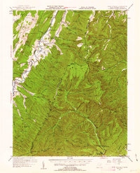
Editions of this 1947 Fort Seybert Map
2 editions found
Other maps of this area

1892 · Franklin
USGS Topo · 1:125,000

1892 · Woodstock
USGS Topo · 1:125,000

1892 · Harrisonburg
USGS Topo · 1:125,000

1894 · Staunton
USGS Topo · 1:125,000

1896 · Franklin
USGS Topo · 1:125,000

1920 · Petersburg
USGS Topo · 1:48,000

1920 · Onego
USGS Topo · 1:62,500

1921 · Orkney Springs
USGS Topo · 1:48,000

1921 · Petersburg
USGS Topo · 1:48,000

1921 · Onego
USGS Topo · 1:48,000