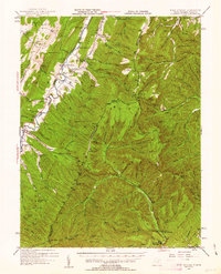
1947 Map of Fort Seybert
USGS Topo · Published 1963About this map
The South Fork Potomac River carves a deep valley through the high ridges of Pendleton County, anchoring the settlement pattern of this mid-century landscape. Small rural communities like Fort Seybert, Oak Flat, and Brandywine follow the river's course, while the surrounding peaks such as Tumble Mtn and Cow Knob reach high above the riverbed. The map reveals a high density of local institutions that defined mountain life, including the Enterprise Sch, Locust Grove Sch, and New Bethlehem Ch.
Find a feature on this map
200 named features on this map. Tap any name to fly to it.
Don’t see what you’re looking for? This feature index may not catch every label — zoom into the map to look around manually.
Map Details
Editions of this 1947 Fort Seybert Map
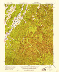
2 editions found
Other maps of this area

1892 · Franklin
USGS Topo · 1:125,000

1892 · Woodstock
USGS Topo · 1:125,000

1892 · Harrisonburg
USGS Topo · 1:125,000

1894 · Staunton
USGS Topo · 1:125,000

1896 · Franklin
USGS Topo · 1:125,000

1920 · Petersburg
USGS Topo · 1:48,000

1920 · Onego
USGS Topo · 1:62,500

1921 · Orkney Springs
USGS Topo · 1:48,000

1921 · Petersburg
USGS Topo · 1:48,000

1921 · Onego
USGS Topo · 1:48,000