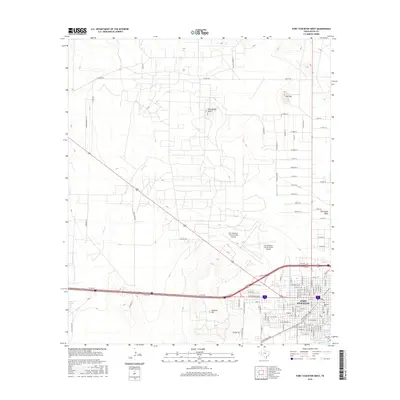
2016 Map of Fort Stockton West
USGS Topo · Published 2016About this map
Comanche Springs serves as a focal point for this Pecos County landscape, where the transition from desert plateau to settled community is clearly visible. The city of Fort Stockton occupies the southeastern corner, displaying a grid of streets including W Hornbeck Blvd and W 11th St. To the west, the arid geography is defined by prominent landforms such as Twomile Hill, The Needle Point, and the expansive Greasewood Flats. These natural features, along with Sevenmile Mesa, frame the modern infrastructure of the Fort Stockton-Pecos County Airport. Water management is central to the area's development, evidenced by the presence of the Highline Ditch, Comanche Cr Reservoir, and Lake Leon. For those looking into local heritage, the Old Fort Cem near the downtown area provides a direct link to the community's early history.
Find a feature on this map
99 named features on this map. Tap any name to fly to it.
Don’t see what you’re looking for? This feature index may not catch every label — zoom into the map to look around manually.
Map Details
Editions of this 2016 Fort Stockton West Map
This is the sole edition of this map. No revisions or reprints were ever made.
Other maps of this area

1921 · Fort Stockton
USGS Topo · 1:62,500

1923 · Fort Stockton
USGS Topo · 1:62,500

1928 · Comanche Spring
USGS Topo · 1:125,000

1929 · Hovey
USGS Topo · 1:125,000

1931 · Barstow
USGS Topo · 1:125,000

1954 · Pecos
USGS Topo · 1:250,000

1954 · Fort Stockton
USGS Topo · 1:250,000

1957 · Pecos
USGS Topo · 1:250,000

1958 · Fort Stockton
USGS Topo · 1:250,000

1970 · Fort Stockton West
USGS Topo · 1:24,000