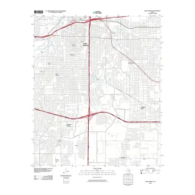
2010 Map of Fort Worth
USGS Topo · Published 2010About this map
Texas Christian University stands as a central anchor in the southwestern portion of this Tarrant County landscape, surrounded by residential expansion and the Worth Hills Golf Course. The urban fabric of Fort Worth is defined here by a dense grid of neighborhoods, including the Fairmount-Southside Historic District and Elizabeth Boulevard Historic District, which signify the city's architectural heritage. To the south, the industrial and logistical footprint is evident at the Merchants Warehouse Terminal and the Fort Worth Rail Mart, while the South Freeway carves a major north-south corridor through the quadrangle.
Find a feature on this map
53 named features on this map. Tap any name to fly to it.
Don’t see what you’re looking for? This feature index may not catch every label — zoom into the map to look around manually.
Map Details
Editions of this 2010 Fort Worth Map
This is the sole edition of this map. No revisions or reprints were ever made.
Other maps of this area

1894 · Fort Worth
USGS Topo · 1:125,000

1931 · Grapevine
USGS Topo · 1:62,500

1954 · Dallas
USGS Topo · 1:250,000

1955 · Haltom City
USGS Topo · 1:24,000

1955 · Burleson
USGS Topo · 1:24,000

1955 · Primrose
USGS Topo · 1:24,000

1955 · Lake Worth
USGS Topo · 1:24,000

1955 · Benbrook
USGS Topo · 1:24,000

1955 · Fort Worth
USGS Topo · 1:24,000

1955 · Haltom City
USGS Topo · 1:62,500