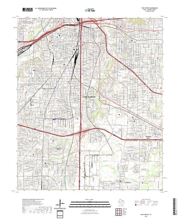
2022 Map of Fort Worth
USGS Topo · Published 2022About this map
Fort Worth centers this urban landscape, where the Clear Fork Trinity River winds through the northwestern corner. The area serves as a major educational hub, anchoring institutions such as Texas Christian University, Brite Divinity School, and Texas Wesleyan University. High-density residential patterns are balanced by established green spaces like Lauren Land Memorial Park and the Sycamore Strip, reflecting the city's modern expansion.
Find a feature on this map
44 named features on this map. Tap any name to fly to it.
Don’t see what you’re looking for? This feature index may not catch every label — zoom into the map to look around manually.
Map Details
Editions of this 2022 Fort Worth Map
This is the sole edition of this map. No revisions or reprints were ever made.
Other maps of this area

1894 · Fort Worth
USGS Topo · 1:125,000

1931 · Grapevine
USGS Topo · 1:62,500

1954 · Dallas
USGS Topo · 1:250,000

1955 · Haltom City
USGS Topo · 1:24,000

1955 · Burleson
USGS Topo · 1:24,000

1955 · Primrose
USGS Topo · 1:24,000

1955 · Lake Worth
USGS Topo · 1:24,000

1955 · Benbrook
USGS Topo · 1:24,000

1955 · Fort Worth
USGS Topo · 1:24,000

1955 · Haltom City
USGS Topo · 1:62,500