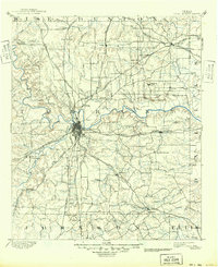
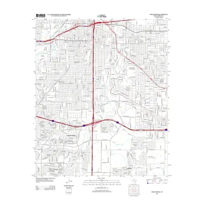
1985 Map of Fort Worth
USGS Topo · Published 1985About this map
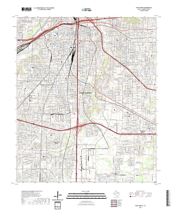
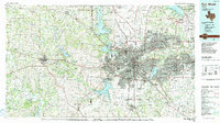
The Fort Worth and Arlington urban core dominates this mid-1980s landscape, reflecting a decade of rapid expansion across the Tarrant County and Dallas County lines. The metropolitan footprint is bounded by a massive reservoir system, including Eagle Mountain Lake, Lake Worth, and Grapevine Lake, which define the region's recreation and water infrastructure. Beyond the suburban sprawl of White Settlement and Hurst, the western terrain transitions toward the Brazos River and the undulating peaks of the Palo Pinto Hills, where landmarks like Nebo Mtn and Turkey Peak overlook the rural drainage of Walnut Creek. This period highlights the complex rail network supporting the industrial growth of the Metroplex, with the Burlington Northern and Missouri Pacific lines threading through established centers and emerging communities like Euless and Colleyville.
Find a feature on this map
155 named features on this map. Tap any name to fly to it.
Don’t see what you’re looking for? This feature index may not catch every label — zoom into the map to look around manually.
Map Details
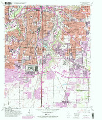
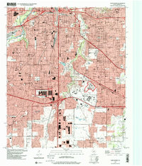
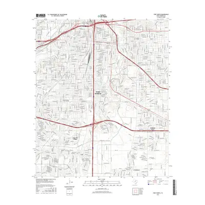
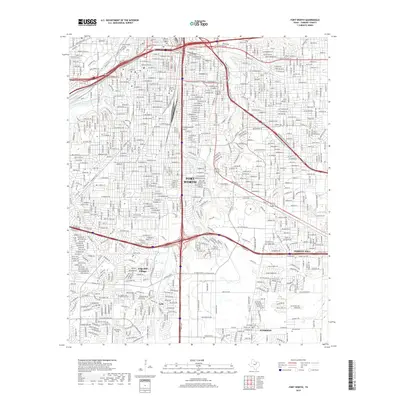
Editions of this 1985 Fort Worth Map
2 editions found
Historical Maps of Dallas Through Time
9 maps found