2024 Map of Fort Yates
USGS Topo · Published 2024About this map
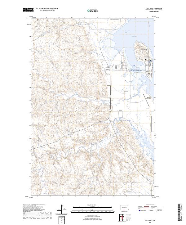
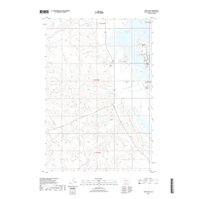
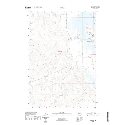
Fort Yates serves as the administrative and cultural hub of the region, situated along the western banks of the Missouri River where it widens into Lake Oahe. The landscape is defined by the significant elevation of Proposal Hill and a series of drainages, including Slaughterhouse Creek, Onemile Creek, and Fourmile Creek, which carve through the terrain toward the reservoir. Notable institutions such as Sitting Bull College and the Sioux County Courthouse mark the town's importance, while religious and community heritage is preserved at the Saint Peters Catholic Church and its accompanying Saint Peters Catholic Church Cem. Transportation infrastructure like the Standing Rock Airport and routes such as Kenel Rd and Bia RD 8 facilitate movement through this riverine landscape, which remains closely tied to the topography of Slaughterhouse Bay.
Find a feature on this map
36 named features on this map. Tap any name to fly to it.
Don’t see what you’re looking for? This feature index may not catch every label — zoom into the map to look around manually.
Map Details
Editions of this 2024 Fort Yates Map
This is the sole edition of this map. No revisions or reprints were ever made.
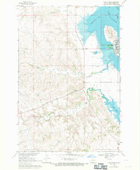
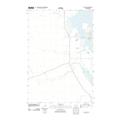
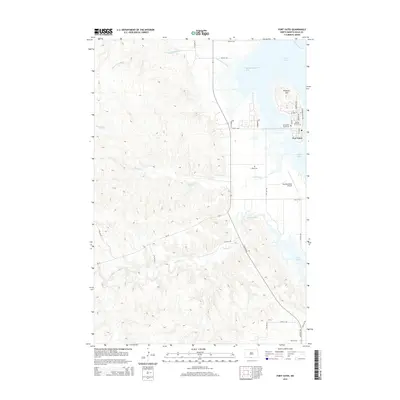
Historical Maps of Fort Yates District Through Time
6 maps found
Featured Locations
- United States
- Sioux County, ND
- Kenel District, SD
- Fort Yates District, ND
- Fort Yates, Fort Yates District