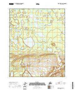
2018 Map of Fort Yukon A-6 NE
USGS Topo · Published 2018About this map
The Yukon Flats dominate this northern landscape, revealing a complex network of wetlands and meandering waterways in the Alaskan interior. This 2018 survey documents a region defined by its hydrography, where Beaver Creek and the smaller Big Cr wind through an expanse dotted with numerous unnamed ponds and major water bodies like Ninemile Lake. The transition from the low-lying wetland basins to the more defined topography in the southern portion of the quadrangle highlights the characteristic drainage patterns of this subarctic environment.
Find a feature on this map
12 named features on this map. Tap any name to fly to it.
Don’t see what you’re looking for? This feature index may not catch every label — zoom into the map to look around manually.
Map Details
Editions of this 2018 Fort Yukon A-6 NE Map
This is the sole edition of this map. No revisions or reprints were ever made.
Other maps of this area

1951 · Fort Yukon
USGS Topo · 1:250,000

1956 · Fort Yukon B-6
USGS Topo · 1:63,360
1956 · Fort Yukon A-6
USGS Topo · 1:63,360

1956 · Fort Yukon A-5
USGS Topo · 1:63,360

1956 · Fort Yukon B-5
USGS Topo · 1:63,360

1956 · Fort Yukon
USGS Topo · 1:250,000
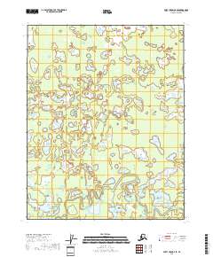
2018 · Fort Yukon B-6 SE
USGS Topo · 1:25,000
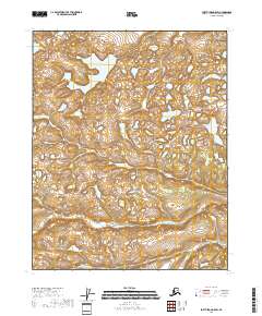
2018 · Fort Yukon A-5 SW
USGS Topo · 1:25,000
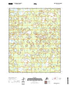
2018 · Fort Yukon B-6 SW
USGS Topo · 1:25,000
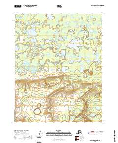
2018 · Fort Yukon A-6 NW
USGS Topo · 1:25,000