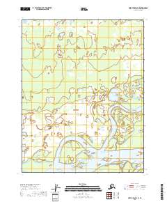
2018 Map of Fort Yukon C-6 SE
USGS Topo · Published 2018About this map
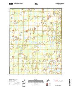
The Yukon River dominates this interior Alaskan landscape, winding through a complex network of wetlands and shifting channels typical of the Upper Yukon Valley. This 2018 survey illustrates the river's meandering course as it carves through the landscape, notably forming Deadman Island within its broad basin. The map is primarily characterized by its intricate hydrography, showing numerous unnamed ponds and sloughs that define the terrain between the river and the surrounding township boundaries. The absence of roads or permanent settlements underscores the isolation of this region within the Yukon-Koyukuk Census Area, where the natural movement of the river remains the primary geographic influence on the land.
Find a feature on this map
8 named features on this map. Tap any name to fly to it.
Don’t see what you’re looking for? This feature index may not catch every label — zoom into the map to look around manually.
Map Details
Editions of this 2018 Fort Yukon C-6 SE Map
This is the sole edition of this map. No revisions or reprints were ever made.
Other maps of this area

1951 · Fort Yukon
USGS Topo · 1:250,000

1955 · Fort Yukon C-5
USGS Topo · 1:63,360

1956 · Fort Yukon B-6
USGS Topo · 1:63,360

1956 · Fort Yukon C-5
USGS Topo · 1:63,360

1956 · Fort Yukon B-5
USGS Topo · 1:63,360

1956 · Fort Yukon
USGS Topo · 1:250,000
1956 · Fort Yukon C-6
USGS Topo · 1:63,360
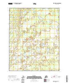
2018 · Fort Yukon C-6 NE
USGS Topo · 1:25,000
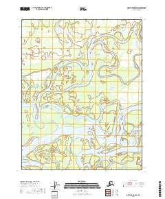
2018 · Fort Yukon C-5 SW
USGS Topo · 1:25,000
2018 · Fort Yukon C-5 NW
USGS Topo · 1:25,000