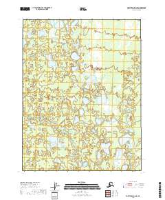
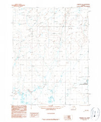
2018 Map of Fort Yukon D-4 NW
USGS Topo · Published 2018About this map
Vetenjerlo Lakes anchor the northern landscape of this interior Alaskan quadrangle, part of a complex wetland network defined by seasonal hydrology. The area is characterized by an intricate web of small water bodies and drainage systems, most notably Marten Creek and its smaller tributary Marten Cr which wind through the eastern sectors. The presence of Kocacho Cr further illustrates the low-lying, water-saturated nature of this terrain within the Yukon-Koyukuk Census Area. This survey, grounded in data from the National Hydrography Dataset and the Public Land Survey System, provides a clear view of the township and range divisions, such as t25n r8e and t24n r9e, which organize this largely uninhabited wilderness.
Find a feature on this map
8 named features on this map. Tap any name to fly to it.
Don’t see what you’re looking for? This feature index may not catch every label — zoom into the map to look around manually.
Map Details
Editions of this 2018 Fort Yukon D-4 NW Map
This is the sole edition of this map. No revisions or reprints were ever made.
Other maps of this area

1951 · Fort Yukon
USGS Topo · 1:250,000

1951 · Christian
USGS Topo · 1:250,000

1955 · Fort Yukon D-4
USGS Topo · 1:63,360

1955 · Fort Yukon D-5
USGS Topo · 1:63,360

1956 · Christian
USGS Topo · 1:250,000

1956 · Fort Yukon
USGS Topo · 1:250,000
1956 · Fort Yukon D-4
USGS Topo · 1:63,360
1956 · Fort Yukon D-5
USGS Topo · 1:63,360
1990 · Christian A-5
USGS Topo · 1:63,360
1990 · Christian A-4
USGS Topo · 1:63,360