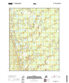
2018 Map of Fort Yukon D-6 SE
USGS Topo · Published 2018About this map
Yukon Flats dominates this interior Alaska landscape, characterized by a complex mosaic of wetlands and small water bodies. Located within the t23n r5e and t24n r5e townships, the area is defined by its low-lying, water-saturated terrain typical of the northern interior. Large, named water bodies like Vunlui Lake and Vunzik Lake stand out against a backdrop of countless unnamed ponds and marshes, illustrating the dynamic hydrology of the region before any significant modern development. The mapping of these features provides a detailed record of the shifting water levels and the intricate drainage patterns that have historically supported local ecosystems and traditional land use in this part of the Yukon-Koyukuk region.
Find a feature on this map
9 named features on this map. Tap any name to fly to it.
Don’t see what you’re looking for? This feature index may not catch every label — zoom into the map to look around manually.
Map Details
Editions of this 2018 Fort Yukon D-6 SE Map
This is the sole edition of this map. No revisions or reprints were ever made.
Other maps of this area

1951 · Fort Yukon
USGS Topo · 1:250,000

1955 · Fort Yukon D-5
USGS Topo · 1:63,360

1955 · Fort Yukon C-5
USGS Topo · 1:63,360

1956 · Fort Yukon C-5
USGS Topo · 1:63,360

1956 · Fort Yukon
USGS Topo · 1:250,000
1956 · Fort Yukon D-6
USGS Topo · 1:63,360
1956 · Fort Yukon C-6
USGS Topo · 1:63,360
1956 · Fort Yukon D-5
USGS Topo · 1:63,360
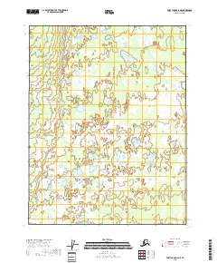
2018 · Fort Yukon C-6 NE
USGS Topo · 1:25,000
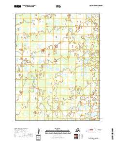
2018 · Fort Yukon C-5 NW
USGS Topo · 1:25,000