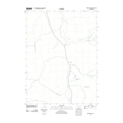
2010 Map of Fortification
USGS Topo · Published 2010About this map
Fortification sits at the heart of this high-plains landscape in Moffat County, where the winding course of Fortification Creek dictates the local geography. The area is defined by its expansive ranching heritage, centered around the Mesa View Ranch and its private Mesa View Ranch Airport, reflecting the logistical needs of life in the Colorado backcountry. The terrain rises significantly to the southeast with the foothills of the Elkhead Mountains, while the distinct geological formation of Fortification Rocks stands as a local landmark. A complex network of drainage systems, including the North Fork Fortification Creek and South Fork Fortification Creek, carve through the land, illustrating the importance of water management for these remote operations. County roads like County Rd-40 and County Rd-109 provide the primary links across this sparsely settled territory, connecting isolated ranching outposts to the wider region.
Find a feature on this map
19 named features on this map. Tap any name to fly to it.
Don’t see what you’re looking for? This feature index may not catch every label — zoom into the map to look around manually.
Map Details
Editions of this 2010 Fortification Map
This is the sole edition of this map. No revisions or reprints were ever made.
Other maps of this area

1916 · Craig
USGS Topo · 1:125,000

1923 · Elkhead Creek
USGS Topo · 1:62,500

1924 · Elkhead Creek
USGS Topo · 1:62,500

1954 · Craig
USGS Topo · 1:250,000

1957 · Craig
USGS Topo · 1:250,000

1958 · Craig
USGS Topo · 1:250,000

1960 · Craig
USGS Topo · 1:250,000

1962 · Craig
USGS Topo · 1:250,000

1964 · Craig
USGS Topo · 1:250,000

1965 · Craig
USGS Topo · 1:250,000