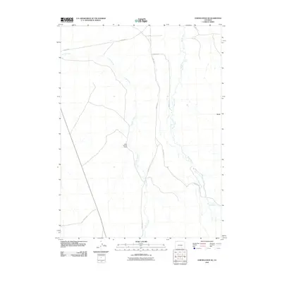
2010 Map of Fortification NE
USGS Topo · Published 2010About this map
Fourmile Creek and Willow Creek define the drainage patterns of this high-plateau landscape in northern Moffat County during the early 21st century. The map provides a detailed view of the rural infrastructure at the Colorado-Wyoming border, where a network of gravel routes including County Rd-2 and County Rd-101 connect the sparse ranching developments of the region. The settlement of Slater sits near the northern edge of the sheet, serving as a landmark in a terrain marked by deep topographical features like Mud Spring Draw. The U.S. Geological Survey utilized digital imagery from 2009 to record this high-desert environment, capturing the precise alignment of local roads such as County Rd-70 and County Rd-3 before any further modern development altered these remote drainages.
Find a feature on this map
8 named features on this map. Tap any name to fly to it.
Don’t see what you’re looking for? This feature index may not catch every label — zoom into the map to look around manually.
Map Details
Editions of this 2010 Fortification NE Map
This is the sole edition of this map. No revisions or reprints were ever made.
Other maps of this area

1916 · Craig
USGS Topo · 1:125,000

1932 · Savery
USGS Topo · 1:96,000

1940 · Savery
USGS Topo · 1:125,000

1954 · Rawlins
USGS Topo · 1:250,000

1954 · Craig
USGS Topo · 1:250,000

1957 · Craig
USGS Topo · 1:250,000

1957 · Baggs
USGS Topo · 1:62,500

1958 · Rawlins
USGS Topo · 1:250,000

1958 · Craig
USGS Topo · 1:250,000

1960 · Craig
USGS Topo · 1:250,000