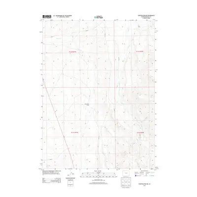
2013 Map of Fortification NE
USGS Topo · Published 2013About this map
Fourmile Cr and Willow Cr carve their way through the high desert of Moffat County, defining the drainage patterns of this sparsely populated Colorado landscape. This 2013 survey reveals a territory primarily organized by an established grid of rural infrastructure, where long-distance county routes like Co Road 13 and Co Road 2 provide the primary means of traversal across the township and range boundaries. The presence of Mud Spring Draw indicates the seasonal water flow and topographical depressions characteristic of this region. The map captures the intersection of traditional land division and the modern road network, tracing the paths of Co Road 101 and Co Road 70 as they navigate the ridges and valleys east of the Fourmile Cr basin.
Find a feature on this map
12 named features on this map. Tap any name to fly to it.
Don’t see what you’re looking for? This feature index may not catch every label — zoom into the map to look around manually.
Map Details
Editions of this 2013 Fortification NE Map
This is the sole edition of this map. No revisions or reprints were ever made.
Other maps of this area

1916 · Craig
USGS Topo · 1:125,000

1932 · Savery
USGS Topo · 1:96,000

1940 · Savery
USGS Topo · 1:125,000

1954 · Rawlins
USGS Topo · 1:250,000

1954 · Craig
USGS Topo · 1:250,000

1957 · Craig
USGS Topo · 1:250,000

1957 · Baggs
USGS Topo · 1:62,500

1958 · Rawlins
USGS Topo · 1:250,000

1958 · Craig
USGS Topo · 1:250,000

1960 · Craig
USGS Topo · 1:250,000