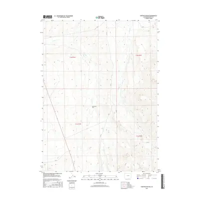
2016 Map of Fortification NE
USGS Topo · Published 2016About this map
Fourmile Cr and Willow Cr define the hydrological character of this high-country landscape in Moffat County. The terrain is deeply textured by drainage patterns, most notably at Mud Spring Draw, which cuts through the central sections of the survey. Remote county transit is represented by a sparse network of gravel routes, including Co Rd 2 and Co Rd 101, which navigate the elevation changes between townships. The map is primarily an study of topography and drainage in the northern Colorado interior, showing the intersection of the t12n r91w and t12n r90w land divisions. This area remains largely defined by its natural features and public land boundaries rather than dense human settlement.
Find a feature on this map
11 named features on this map. Tap any name to fly to it.
Don’t see what you’re looking for? This feature index may not catch every label — zoom into the map to look around manually.
Map Details
Editions of this 2016 Fortification NE Map
This is the sole edition of this map. No revisions or reprints were ever made.
Other maps of this area

1916 · Craig
USGS Topo · 1:125,000

1932 · Savery
USGS Topo · 1:96,000

1940 · Savery
USGS Topo · 1:125,000

1954 · Rawlins
USGS Topo · 1:250,000

1954 · Craig
USGS Topo · 1:250,000

1957 · Craig
USGS Topo · 1:250,000

1957 · Baggs
USGS Topo · 1:62,500

1958 · Rawlins
USGS Topo · 1:250,000

1958 · Craig
USGS Topo · 1:250,000

1960 · Craig
USGS Topo · 1:250,000