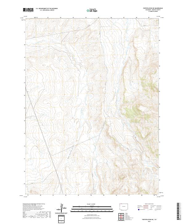
2022 Map of Fortification NE
USGS Topo · Published 2022About this map
Fourmile Cr and Willow Cr carve through the high terrain of north-central Moffat County, defining the drainage patterns of this sparsely settled landscape. The map reveals a high-altitude network of rural routes, including Co Rd 2 and Co Rd 101, which navigate the various draws and ridges that characterize the region. Unlike more developed areas, the landscape here is dominated by natural landmarks such as Mud Spring Draw, which cuts across the lower sections of the survey.
Find a feature on this map
11 named features on this map. Tap any name to fly to it.
Don’t see what you’re looking for? This feature index may not catch every label — zoom into the map to look around manually.
Map Details
Editions of this 2022 Fortification NE Map
This is the sole edition of this map. No revisions or reprints were ever made.
Other maps of this area

1916 · Craig
USGS Topo · 1:125,000

1932 · Savery
USGS Topo · 1:96,000

1940 · Savery
USGS Topo · 1:125,000

1954 · Rawlins
USGS Topo · 1:250,000

1954 · Craig
USGS Topo · 1:250,000

1957 · Craig
USGS Topo · 1:250,000

1957 · Baggs
USGS Topo · 1:62,500

1958 · Rawlins
USGS Topo · 1:250,000

1958 · Craig
USGS Topo · 1:250,000

1960 · Craig
USGS Topo · 1:250,000