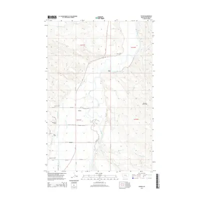
2014 Map of Foster
USGS Topo · Published 2014About this map
The Bighorn River carves a deep valley through this Big Horn County landscape, where the primary infrastructure focuses on water management for agriculture and livestock. A complex network of irrigation ditches, including the Big Horn Low Line Canal, Two Leggins Canal, and Wagon Box Canal, follows the river's contour to support local ranching and farming operations. The settlement of Foster and the locality of Kingley serve as anchors along the MT 47 corridor, which traces the western side of the valley. Significant terrain features like Two Leggins Tunnel and numerous named coulees, such as Deadmans Coulee and Wagon Box Coulee, indicate the varied topography east and west of the river. Local infrastructure is further defined by markers of rural life, from Community School Rd to the Gen Custer Fishing Access Rd, which provides river entry near the center of the quadrangle.
Find a feature on this map
41 named features on this map. Tap any name to fly to it.
Don’t see what you’re looking for? This feature index may not catch every label — zoom into the map to look around manually.
Map Details
Editions of this 2014 Foster Map
This is the sole edition of this map. No revisions or reprints were ever made.
Other maps of this area

1894 · Fort Custer
USGS Topo · 1:125,000

1954 · Hardin
USGS Topo · 1:250,000

1954 · Forsyth
USGS Topo · 1:250,000

1957 · Hardin
USGS Topo · 1:250,000

1957 · Forsyth
USGS Topo · 1:250,000

1958 · Forsyth
USGS Topo · 1:250,000

1958 · Hardin
USGS Topo · 1:250,000

1960 · Foster
USGS Topo · 1:24,000

1960 · Ninemile Point
USGS Topo · 1:24,000

1960 · Chimney Creek
USGS Topo · 1:24,000