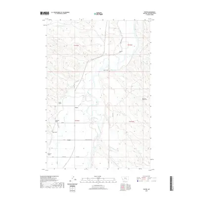
2020 Map of Foster
USGS Topo · Published 2020About this map
The Bighorn River carves a central path through this Big Horn County landscape, supporting a complex network of irrigation infrastructure essential to the region's agricultural life. The presence of the Big Horn Low Line Canal, Wagon Box Canal, and Two Leggins Canal illustrates the intensive water management required to cultivate the land surrounding the small settlements of Foster and Kingley. This system is punctuated by engineering landmarks like the Two Leggins Tunnel, which facilitates the flow of water through the varied terrain.
Find a feature on this map
33 named features on this map. Tap any name to fly to it.
Don’t see what you’re looking for? This feature index may not catch every label — zoom into the map to look around manually.
Map Details
Editions of this 2020 Foster Map
This is the sole edition of this map. No revisions or reprints were ever made.
Other maps of this area
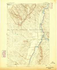
1894 · Fort Custer
USGS Topo · 1:125,000
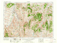
1954 · Hardin
USGS Topo · 1:250,000
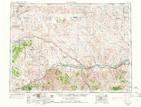
1954 · Forsyth
USGS Topo · 1:250,000
1957 · Hardin
USGS Topo · 1:250,000
1957 · Forsyth
USGS Topo · 1:250,000
1958 · Forsyth
USGS Topo · 1:250,000
1958 · Hardin
USGS Topo · 1:250,000
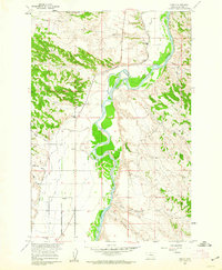
1960 · Foster
USGS Topo · 1:24,000
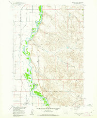
1960 · Ninemile Point
USGS Topo · 1:24,000
1960 · Chimney Creek
USGS Topo · 1:24,000