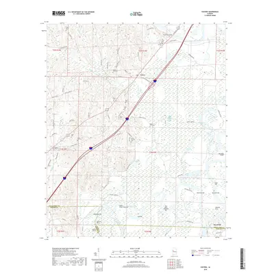
2018 Map of Fosters
USGS Topo · Published 2018About this map
Fosters and the northern outskirts of Moundville anchor this landscape where the Black Warrior River meanders through a complex system of sloughs and backwaters. The river's intricate path is defined by a series of named bars and bends, including Bohannons Bar, Toxy Bend, and Lewis Bar, which reflect the historic importance of river navigation and seasonal water levels. These alluvial features, alongside water bodies like Big Lake and Warrior Lake, illustrate a terrain shaped by consistent fluvial action and the engineering of the Eddins Cutoff.
Find a feature on this map
96 named features on this map. Tap any name to fly to it.
Don’t see what you’re looking for? This feature index may not catch every label — zoom into the map to look around manually.
Map Details
Editions of this 2018 Fosters Map
This is the sole edition of this map. No revisions or reprints were ever made.
Other maps of this area

1924 · Tuscaloosa
USGS Topo · 1:62,500

1926 · Tuscaloosa
USGS Topo · 1:62,500

1927 · Eutaw
USGS Topo · 1:48,000

1931 · Eutaw
USGS Topo · 1:62,500

1953 · Montgomery
USGS Topo · 1:250,000

1953 · Birmingham
USGS Topo · 1:250,000

1956 · Birmingham
USGS Topo · 1:250,000

1956 · Montgomery
USGS Topo · 1:250,000

1957 · Birmingham
USGS Topo · 1:250,000

1957 · Montgomery
USGS Topo · 1:250,000