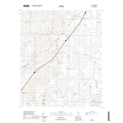
2020 Map of Fosters
USGS Topo · Published 2020About this map
The Warrior Lake floodplain and its intricate system of river bars dominate this portion of the Black Warrior River valley south of Fosters. The landscape is defined by the winding river channel and its numerous topographic shifts, evidenced by features like Hemphill Bend, Toxy Bend, and several river bars including Wild Horse Bar and Beals Bar. These geographical markers reflect the historical importance of the river for transport and regional boundaries, particularly where Tuscaloosa County meets Greene County and Hale County.
Find a feature on this map
88 named features on this map. Tap any name to fly to it.
Don’t see what you’re looking for? This feature index may not catch every label — zoom into the map to look around manually.
Map Details
Editions of this 2020 Fosters Map
This is the sole edition of this map. No revisions or reprints were ever made.
Other maps of this area

1924 · Tuscaloosa
USGS Topo · 1:62,500

1926 · Tuscaloosa
USGS Topo · 1:62,500

1927 · Eutaw
USGS Topo · 1:48,000

1931 · Eutaw
USGS Topo · 1:62,500

1953 · Montgomery
USGS Topo · 1:250,000

1953 · Birmingham
USGS Topo · 1:250,000

1956 · Birmingham
USGS Topo · 1:250,000

1956 · Montgomery
USGS Topo · 1:250,000

1957 · Birmingham
USGS Topo · 1:250,000

1957 · Montgomery
USGS Topo · 1:250,000