
1952 Map of Fouke
USGS Topo · Published 1953About this map
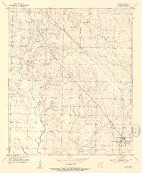
The Texas and Pacific RR cuts diagonally through this Miller County landscape, anchoring the settlement of Fouke in the southeastern corner. This mid-century survey reveals a rural community defined by its watercourses and small social centers, with Days Creek and Fourmile Creek draining the northern territory. Scattered throughout the townships of Garland, Cleveland, and Beech, local life is marked by country churches like Salem Ch, Cedar Grove Ch, and Sylverino Ch. Industry at this time is largely extractive, evidenced by several Gravel Pits located near Days Creek. The map provides a precise view of the road network and land divisions just as aerial photography began to modernize the mapping of Arkansas's creek bottoms and timberlands, including the area around Snake Lake and the smaller community of Boyd.
Find a feature on this map
25 named features on this map. Tap any name to fly to it.
Don’t see what you’re looking for? This feature index may not catch every label — zoom into the map to look around manually.
Map Details
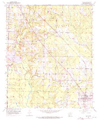
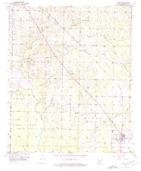
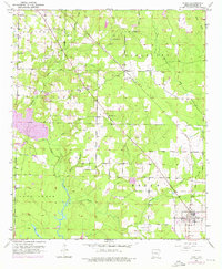
Editions of this 1952 Fouke Map
5 editions found
Other maps of this area

1907 · Atlanta
USGS Topo · 1:62,500

1909 · Texarkana
USGS Topo · 1:62,500

1910 · Atlanta
USGS Topo · 1:62,500

1952 · Mandeville
USGS Topo · 1:24,000

1952 · Doddridge NW
USGS Topo · 1:24,000

1952 · Fouke SE
USGS Topo · 1:24,000

1952 · Doddridge NE
USGS Topo · 1:24,000

1952 · Fouke NE
USGS Topo · 1:24,000

1953 · Texarkana
USGS Topo · 1:250,000

1953 · El Dorado
USGS Topo · 1:250,000