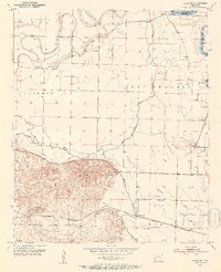
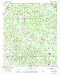
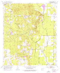
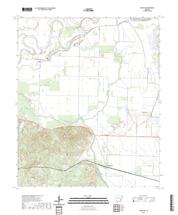
1952 Map of Fouke NE
USGS Topo · Published 1953This historical map portrays the area of Fouke NE in 1952, primarily covering Miller County as well as portions of Hempstead County. Featuring a scale of 1:24000, this map provides a highly detailed snapshot of the terrain, roads, buildings, counties, and historical landmarks in the Fouke NE region at the time. Published in 1953, it is one of 4 known editions of this map due to revisions or reprints.
Find a feature on this map
31 named features on this map. Tap any name to fly to it.
Don’t see what you’re looking for? This feature index may not catch every label — zoom into the map to look around manually.
Map Details
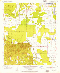
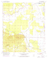
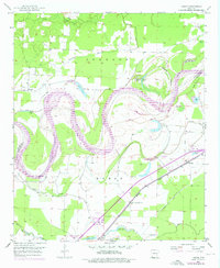
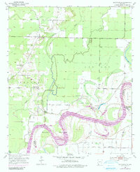
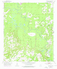
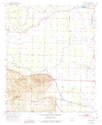
Editions of this 1952 Fouke NE Map
4 editions found
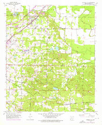
Historical Maps of Hervey Through Time
15 maps found
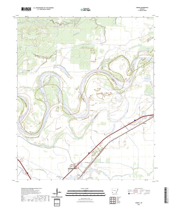
1951 Homan
Miller County, AR
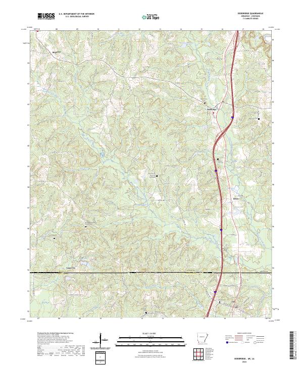
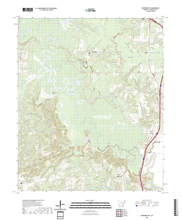
1952 Doddridge
Miller County, AR
1952 Doddridge NE
Miller County, AR
1952 Doddridge NW
Miller County, AR
1952 Fouke NE
Miller County, AR
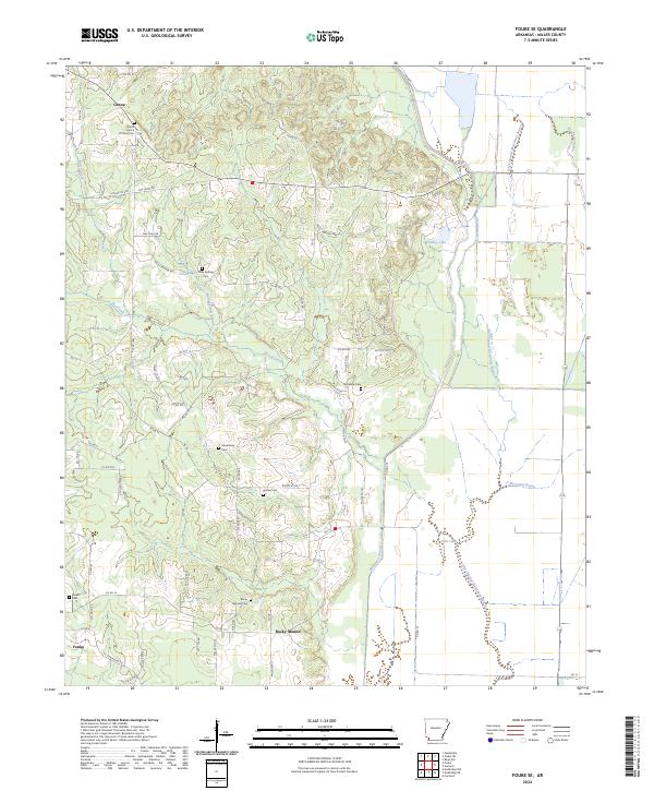
1952 Fouke SE
Miller County, AR
1952 Mandeville
Miller County, AR
2024 Doddridge
Miller County, AR
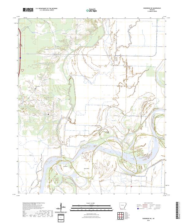
2024 Doddridge NE
Miller County, AR
2024 Doddridge NW
Miller County, AR
2024 Fouke NE
Miller County, AR
2024 Fouke SE
Miller County, AR
2024 Homan
Miller County, AR
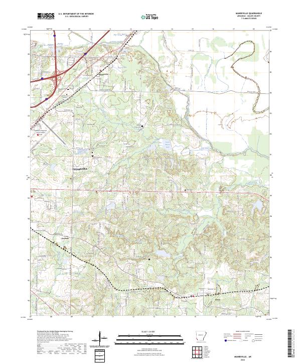
2024 Mandeville
Miller County, AR
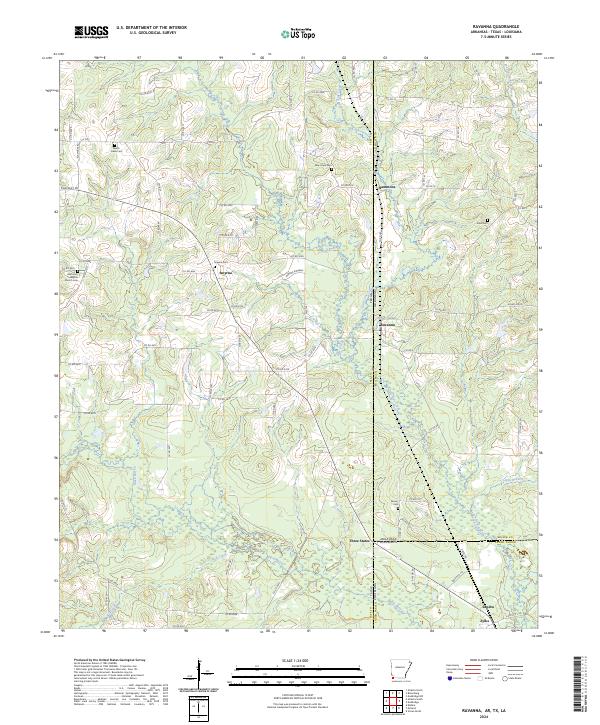
2024 Ravanna
Miller County, AR