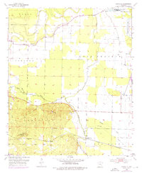
1952 Map of Fouke NE
USGS Topo · Published 1976About this map
McKinney Bayou and the Red River dominate this Miller County landscape, where the fertile bottomlands of Lost Prairie meet the rising elevations of Wolf Mountain. The mapping shows a rural environment defined by the winding paths of abandoned river channels, now preserved as First Old River Lake and Second Old River Lake. The region's development follows the St Louis Southwestern RR, which cuts across the southern portion of the sheet near Artex. Community life is anchored by country landmarks like Tregg Ch, Troy Ch, and the Rock Springs Cem nestled near Krause Hill. This survey captures the transition from lowland bayous to upland hills, noting industrial touches like Oil Wells and a Lookout Tower that highlight the local economy and resource management of the early 1950s.
Find a feature on this map
28 named features on this map. Tap any name to fly to it.
Don’t see what you’re looking for? This feature index may not catch every label — zoom into the map to look around manually.
Map Details
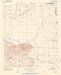
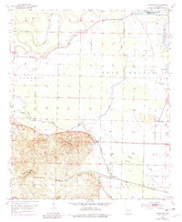
Editions of this 1952 Fouke NE Map
4 editions found
Other maps of this area

1951 · Homan
USGS Topo · 1:24,000

1951 · Fulton
USGS Topo · 1:24,000

1951 · Spring Hill
USGS Topo · 1:24,000

1952 · Mandeville
USGS Topo · 1:24,000

1952 · Garland
USGS Topo · 1:24,000

1952 · Fouke SE
USGS Topo · 1:24,000

1952 · Fouke
USGS Topo · 1:24,000

1952 · Fouke NE
USGS Topo · 1:24,000

1952 · Boyd Hill
USGS Topo · 1:24,000

1953 · El Dorado
USGS Topo · 1:250,000