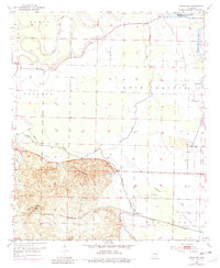
1952 Map of Fouke NE
USGS Topo · Published 1983About this map
The Red River and its intricate drainage network define this corner of Miller County during the early 1950s. The landscape is characterized by its alluvial nature, featuring oxbow remnants like First Old River Lake and Second Old River Lake, alongside the expansive Lost Prairie. Local transportation and commerce are anchored by the St Louis Southwestern railroad, which skirts the southern edge of the survey near the settlement of Artex.
Find a feature on this map
28 named features on this map. Tap any name to fly to it.
Don’t see what you’re looking for? This feature index may not catch every label — zoom into the map to look around manually.
Map Details
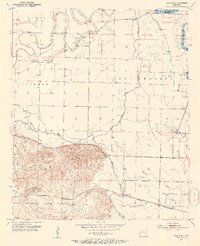
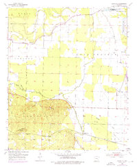
Editions of this 1952 Fouke NE Map
4 editions found
Other maps of this area

1951 · Homan
USGS Topo · 1:24,000

1951 · Fulton
USGS Topo · 1:24,000

1951 · Spring Hill
USGS Topo · 1:24,000

1952 · Mandeville
USGS Topo · 1:24,000

1952 · Garland
USGS Topo · 1:24,000

1952 · Fouke SE
USGS Topo · 1:24,000

1952 · Fouke
USGS Topo · 1:24,000

1952 · Fouke NE
USGS Topo · 1:24,000

1952 · Boyd Hill
USGS Topo · 1:24,000

1953 · El Dorado
USGS Topo · 1:250,000