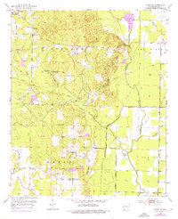
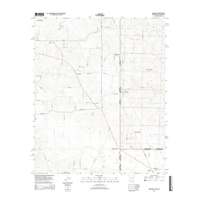
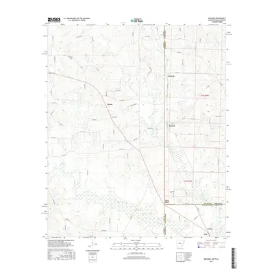
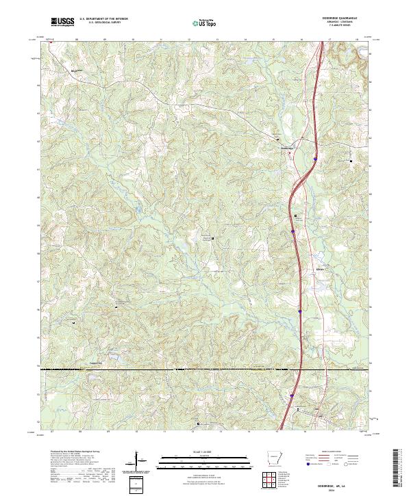
1952 Map of Doddridge
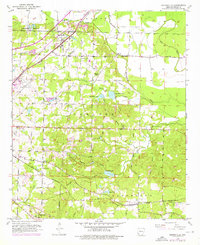
USGS Topo · Published 1984About this map
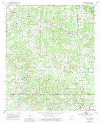
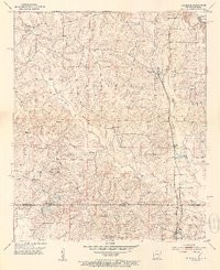
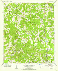
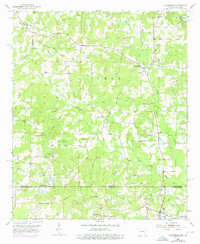
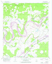
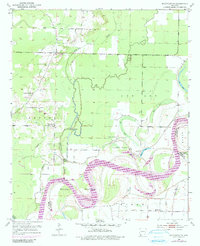
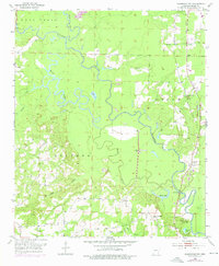
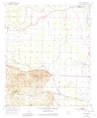
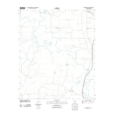
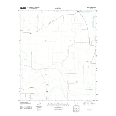
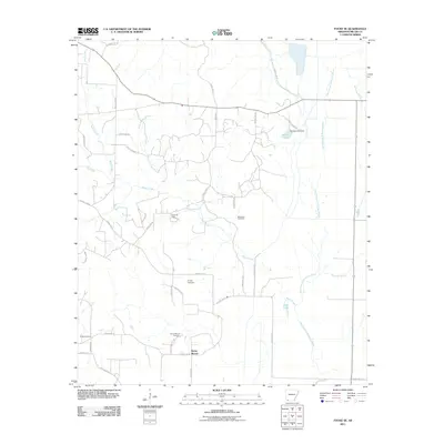
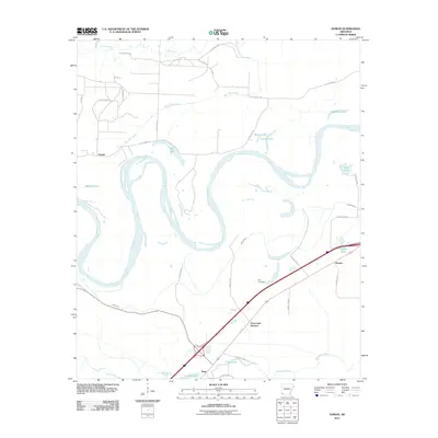
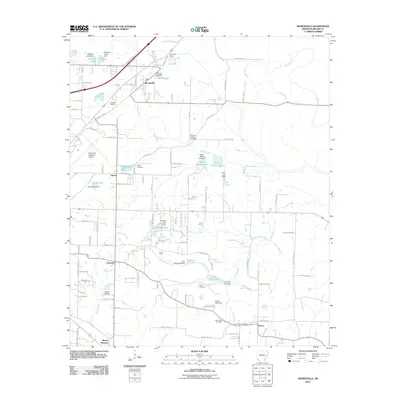
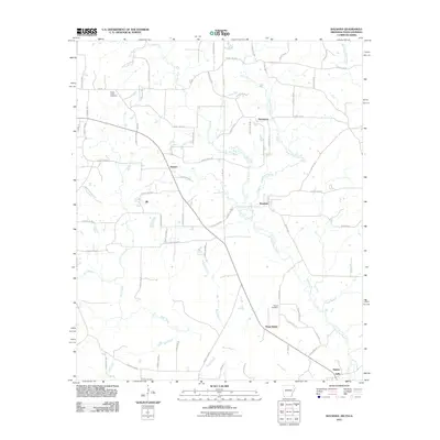
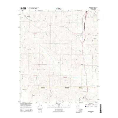
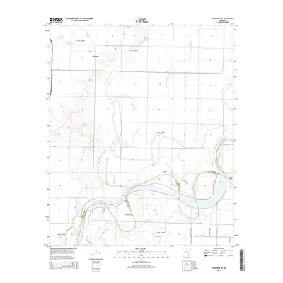
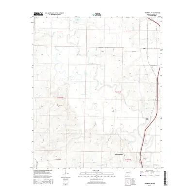
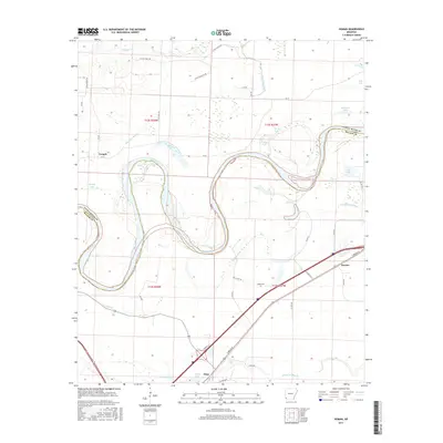
The Sulphur township area of southwest Arkansas and northern Louisiana is defined by the winding network of Kelly Bayou and its many tributaries, including Day Branch and Nance Creek. This 1952 survey, with revisions from 1975, documents a rural landscape transitioning through industrial shifts, notably featuring an Oil Refinery near the settlement of Ida. The community centers of Doddridge and Brightstar are anchors for the region, while smaller locales like Kiblah and Capps City dot the countryside. Religious and local history is preserved through markers for Oak Grove Ch, Evergreen Ch, and the Sulphur Fork Cem. Transportation history is etched into the terrain along the Old Railroad Grade, showing how former transit corridors shaped the development of Miller County and Caddo Parish across the state line.
Find a feature on this map
28 named features on this map. Tap any name to fly to it.
Don’t see what you’re looking for? This feature index may not catch every label — zoom into the map to look around manually.
Map Details
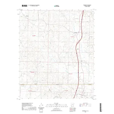
Editions of this 1952 Doddridge Map
5 editions found

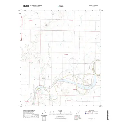
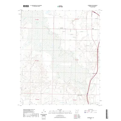
Historical Maps of Ida Through Time
47 maps found
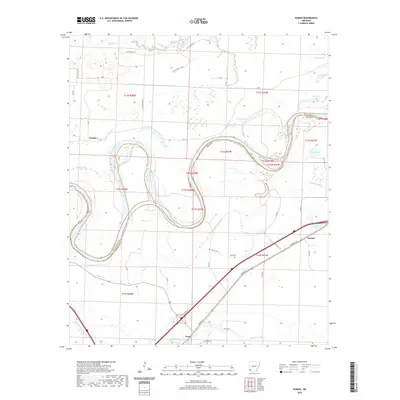
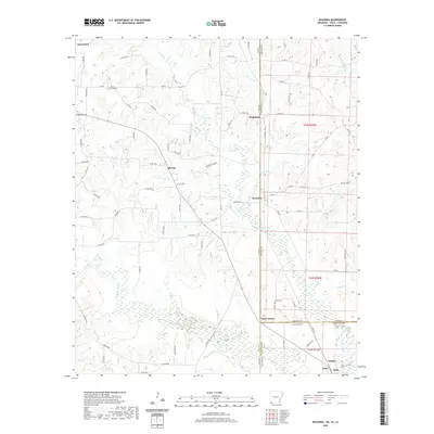
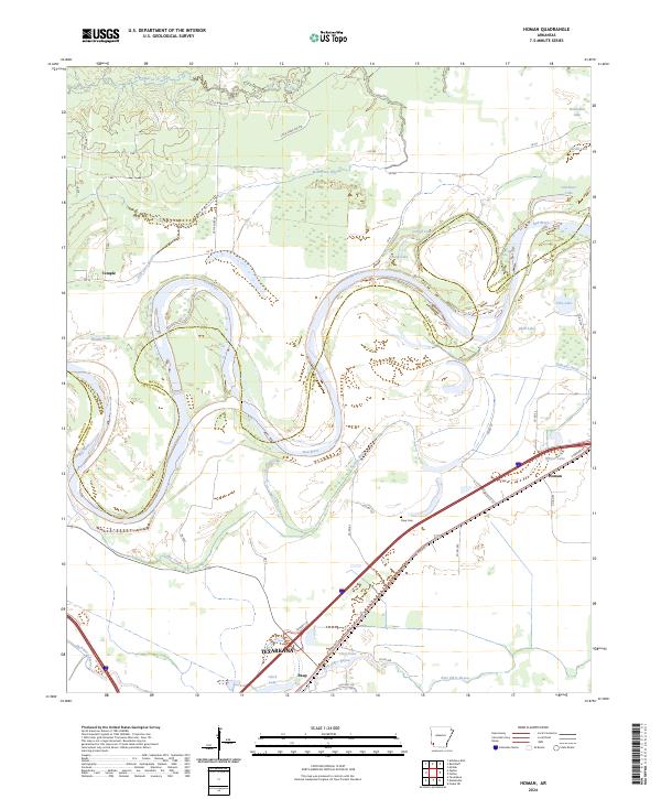
1951 Homan
Miller County, AR
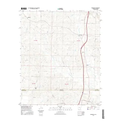
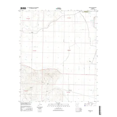
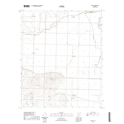
1952 Doddridge
Miller County, AR
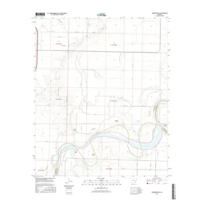
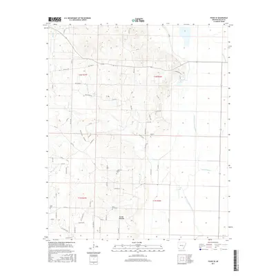
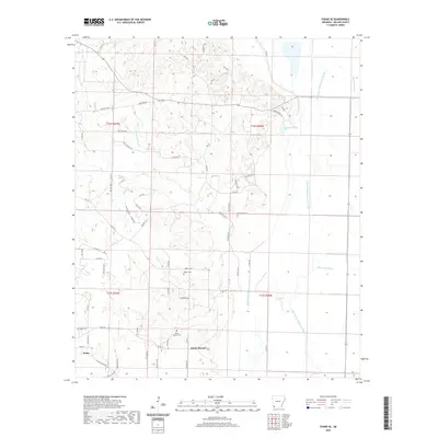
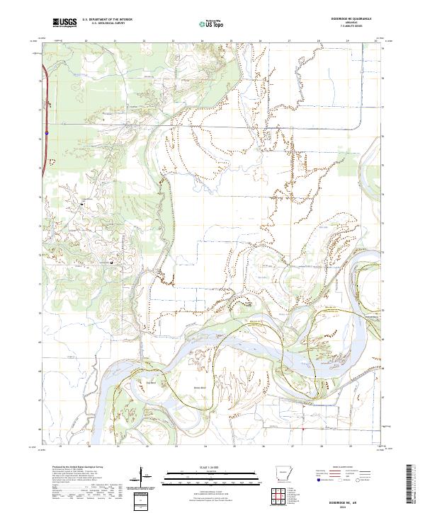
1952 Doddridge NE
Miller County, AR
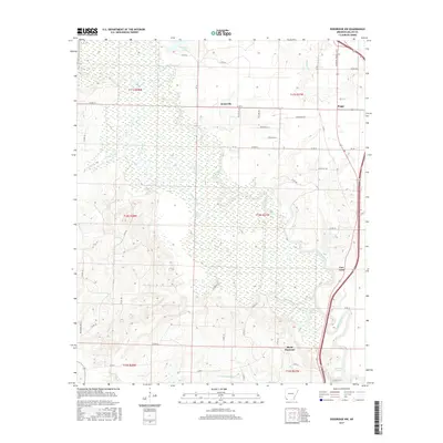
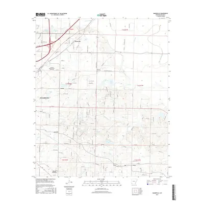
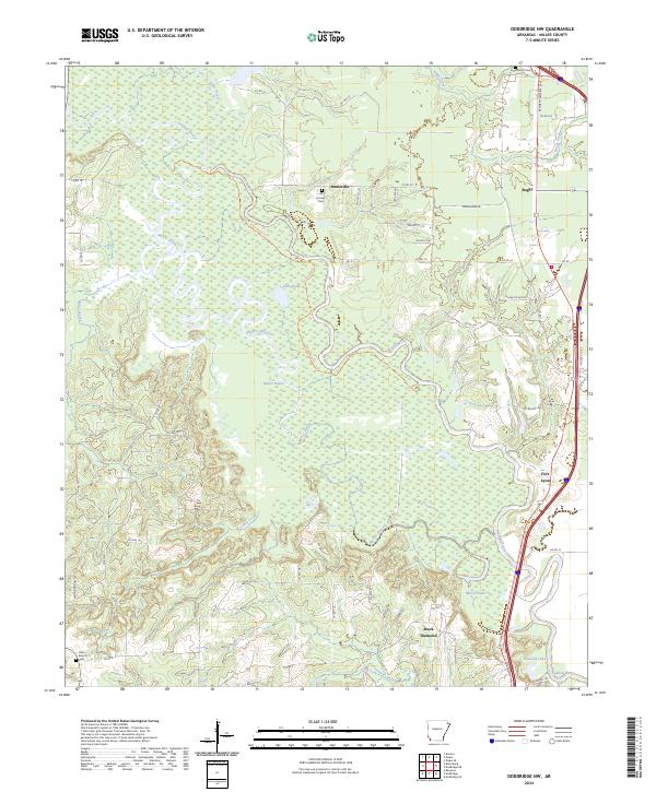
1952 Doddridge NW
Miller County, AR
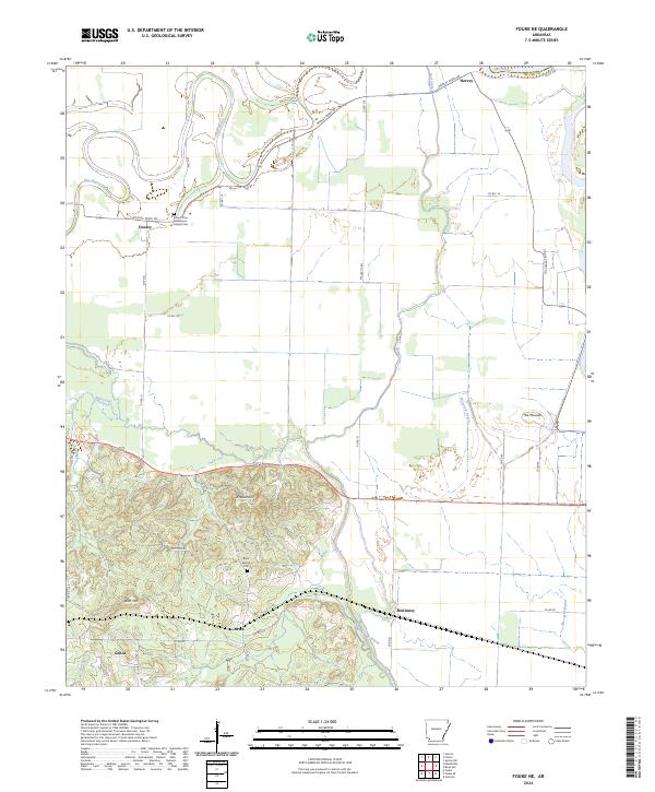
1952 Fouke NE
Miller County, AR
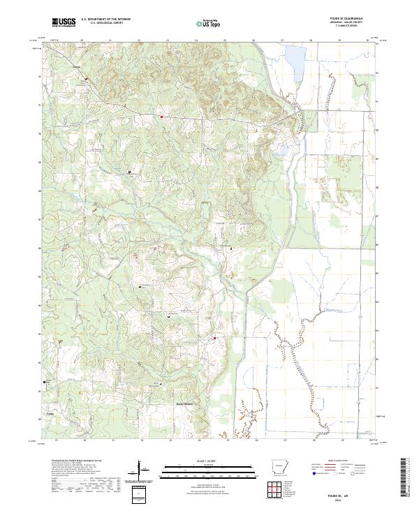
1952 Fouke SE
Miller County, AR
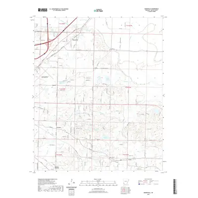
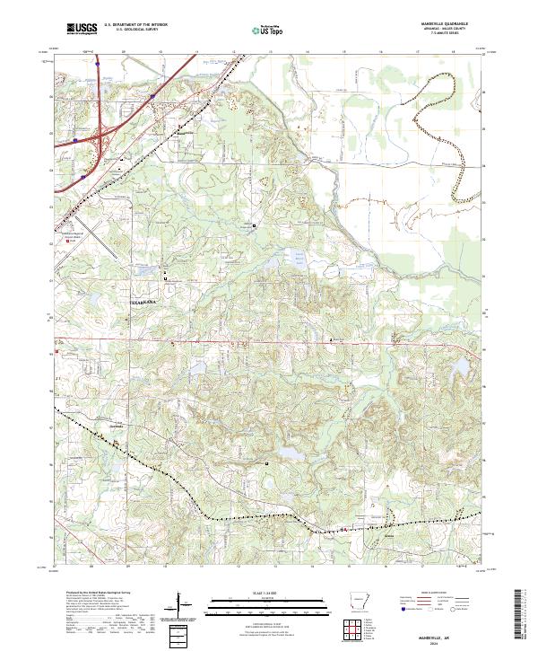
1952 Mandeville
Miller County, AR
2011 Doddridge
Miller County, AR
2011 Doddridge NE
Miller County, AR
2011 Doddridge NW
Miller County, AR
2011 Fouke NE
Miller County, AR
2011 Fouke SE
Miller County, AR
2011 Homan
Miller County, AR
2011 Mandeville
Miller County, AR
2011 Ravanna
Miller County, AR
2014 Doddridge
Miller County, AR
2014 Doddridge NE
Miller County, AR
2014 Doddridge NW
Miller County, AR
2014 Fouke NE
Miller County, AR
2014 Fouke SE
Miller County, AR
2014 Homan
Miller County, AR

2014 Mandeville
Miller County, AR
2014 Ravanna
Miller County, AR
2017 Doddridge
Miller County, AR
2017 Doddridge NE
Miller County, AR
2017 Doddridge NW
Miller County, AR
2017 Fouke NE
Miller County, AR
2017 Fouke SE
Miller County, AR
2017 Homan
Miller County, AR
2017 Mandeville
Miller County, AR
2017 Ravanna
Miller County, AR
2020 Doddridge
Miller County, AR
2020 Doddridge NE
Miller County, AR
2020 Doddridge NW
Miller County, AR
2020 Fouke NE
Miller County, AR
2020 Fouke SE
Miller County, AR
2020 Homan
Miller County, AR
2020 Mandeville
Miller County, AR
2020 Ravanna
Miller County, AR
2024 Doddridge
Miller County, AR
2024 Doddridge NE
Miller County, AR
2024 Doddridge NW
Miller County, AR
2024 Fouke NE
Miller County, AR
2024 Fouke SE
Miller County, AR
2024 Homan
Miller County, AR
2024 Mandeville
Miller County, AR
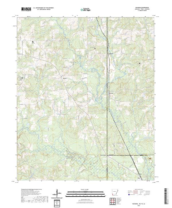
2024 Ravanna
Miller County, AR