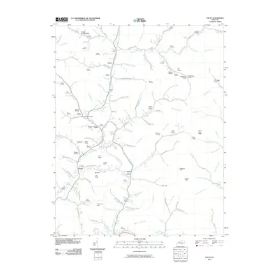
2010 Map of Fount
USGS Topo · Published 2010About this map
Collins Fork and its numerous tributaries carve a complex landscape of narrow valleys and ridges in this portion of Knox County. The area is defined by small, dispersed settlements such as Girdler, Cannon, and Hinkle, which are connected by a network of rural roads following the natural contours of the land. The topography is dotted with family cemeteries, including the Hawn Cemetery, Pittman Cemetery, and Messer Cemetery, providing significant genealogical markers for the region.
Find a feature on this map
138 named features on this map. Tap any name to fly to it.
Don’t see what you’re looking for? This feature index may not catch every label — zoom into the map to look around manually.
Map Details
Editions of this 2010 Fount Map
This is the sole edition of this map. No revisions or reprints were ever made.
Other maps of this area

1886 · Cumberland Gap
USGS Topo · 1:125,000

1888 · Cumberland Gap
USGS Topo · 1:125,000

1891 · Manchester
USGS Topo · 1:125,000

1891 · Cumberland Gap
USGS Topo · 1:125,000

1903 · Pineville
USGS Topo · 1:48,000

1952 · Barbourville
USGS Topo · 1:24,000

1952 · Heidrick
USGS Topo · 1:24,000

1952 · Hima
USGS Topo · 1:24,000

1952 · Blackwater
USGS Topo · 1:24,000

1952 · Fount
USGS Topo · 1:24,000