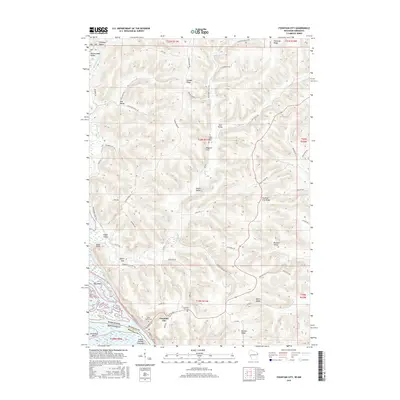
2015 Map of Fountain City
USGS Topo · Published 2015About this map
Fountain City serves as the primary riverfront settlement on the eastern bank of the Mississippi, as documented in this 2015 U.S. Geological Survey topographic map. The terrain is characterized by a series of steep ridges and deeply carved valleys, such as Canada Ridge and Doelle Valley, which dictate the local road network. The map reveals a land divided between high agricultural plateaus and lowland creek drainages like Waumandee Creek and Eagle Cr.
Find a feature on this map
68 named features on this map. Tap any name to fly to it.
Don’t see what you’re looking for? This feature index may not catch every label — zoom into the map to look around manually.
Map Details
Editions of this 2015 Fountain City Map
This is the sole edition of this map. No revisions or reprints were ever made.
Other maps of this area

1929 · Fountain City
USGS Topo · 1:62,500

1932 · Cochrane
USGS Topo · 1:62,500

1932 · Gilmanton
USGS Topo · 1:62,500

1932 · Alma
USGS Topo · 1:62,500

1934 · Winona
USGS Topo · 1:62,500

1934 · Cochrane
USGS Topo · 1:62,500

1937 · Winona
USGS Topo · 1:62,500

1937 · Cochrane
USGS Topo · 1:62,500

1950 · Alma
USGS Topo · 1:62,500

1953 · Eau Claire
USGS Topo · 1:250,000