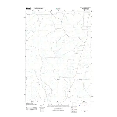
2012 Map of Four Corners
USGS Topo · Published 2012About this map
Sweetwater Mountain and the high plateaus of Northwestern Table anchor this portion of Weston County, where the high plains break into a network of canyons and drainages. The landscape is defined by its water-carved features, including the winding Horsethief Canyon to the west and the broad expanse of Canyon Springs Prairie to the east. A sparse network of local roads and trails, such as Skull Creek Rd and Elk Grove Trl, provides access to these elevations. These routes follow the natural contours of the land, navigating around prominent landmarks like Red Butte and crossing ephemeral watercourses like Sweetwater Cr and Salt Cr. The layout reflects the transition between the rolling prairie and the more complex topography of the Black Hills foothills.
Find a feature on this map
22 named features on this map. Tap any name to fly to it.
Don’t see what you’re looking for? This feature index may not catch every label — zoom into the map to look around manually.
Map Details
Editions of this 2012 Four Corners Map
This is the sole edition of this map. No revisions or reprints were ever made.
Other maps of this area

1898 · Sundance
USGS Topo · 1:125,000

1899 · Newcastle
USGS Topo · 1:125,000

1901 · Newcastle
USGS Topo · 1:125,000

1902 · Sundance
USGS Topo · 1:125,000

1954 · Gillette
USGS Topo · 1:250,000

1955 · Newcastle
USGS Topo · 1:250,000

1955 · Gillette
USGS Topo · 1:250,000

1958 · Gillette
USGS Topo · 1:250,000

1958 · Newcastle
USGS Topo · 1:250,000
1958 · Four Corners
USGS Topo · 1:62,500