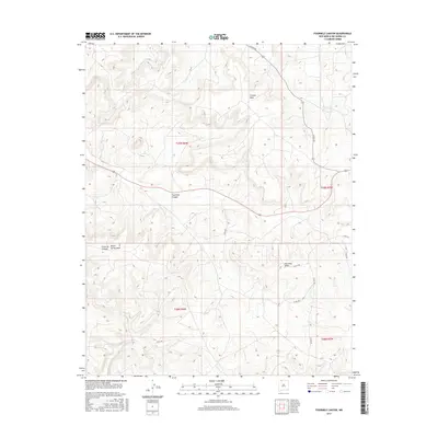
2017 Map of Fourmile Canyon
USGS Topo · Published 2017About this map
Fourmile Canyon cuts a distinct path through this section of Rio Arriba County, defining a landscape dominated by high tablelands and seasonal drainage systems. The northern portion is characterized by the broad elevations of Frances Mesa, while to the south, the terrain rises again toward Fourmile Mesa and Devils Spring Mesa. This area is marked by a network of county roads, such as Co Rd 494 and Co Rd 362, which follow the natural contours of the canyons and mesa edges. These routes suggest a pattern of land use centered on ranching and resource access within the public land survey system. Small water features like Frances Cr and the narrow Encierro Canyon provide a detailed look at the localized hydrology of the New Mexico high desert during the mid-2010s.
Find a feature on this map
17 named features on this map. Tap any name to fly to it.
Don’t see what you’re looking for? This feature index may not catch every label — zoom into the map to look around manually.
Map Details
Editions of this 2017 Fourmile Canyon Map
This is the sole edition of this map. No revisions or reprints were ever made.
Other maps of this area

1889 · Largo
USGS Topo · 1:250,000

1895 · Largo
USGS Topo · 1:250,000

1954 · Pine River
USGS Topo · 1:24,000

1954 · Gomez Ranch
USGS Topo · 1:24,000

1954 · Aztec
USGS Topo · 1:250,000

1958 · Aztec
USGS Topo · 1:250,000

1959 · Gould Pass
USGS Topo · 1:62,500

1959 · Navajo Dam
USGS Topo · 1:62,500

1962 · Aztec
USGS Topo · 1:250,000

1963 · Fourmile Canyon
USGS Topo · 1:24,000