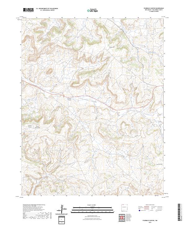
2023 Map of Fourmile Canyon
USGS Topo · Published 2023About this map
Gobernador Canyon and Fourmile Canyon carve a network of drainages across this high desert landscape in Rio Arriba County. The topography is dominated by expansive plateau features like Frances Mesa and Devils Spring Mesa, which rise above the surrounding arroyos and canyons. Settlement is sparse, with the map primarily documenting a grid of local infrastructure such as Co RD 362 and Co RD 494 that service the remote mesas. The ephemeral Frances Creek drains toward the northeast, while the deeply incised Encierro Canyon cuts through the southwestern terrain. This survey reflects a modern view of the Public Land Survey System, specifically tracing the boundaries of t29n r6w and t28n r5w as they intersect this high-altitude terrain.
Find a feature on this map
18 named features on this map. Tap any name to fly to it.
Don’t see what you’re looking for? This feature index may not catch every label — zoom into the map to look around manually.
Map Details
Editions of this 2023 Fourmile Canyon Map
This is the sole edition of this map. No revisions or reprints were ever made.
Other maps of this area

1889 · Largo
USGS Topo · 1:250,000

1895 · Largo
USGS Topo · 1:250,000

1954 · Pine River
USGS Topo · 1:24,000

1954 · Gomez Ranch
USGS Topo · 1:24,000

1954 · Aztec
USGS Topo · 1:250,000

1958 · Aztec
USGS Topo · 1:250,000

1959 · Gould Pass
USGS Topo · 1:62,500

1959 · Navajo Dam
USGS Topo · 1:62,500

1962 · Aztec
USGS Topo · 1:250,000

1963 · Fourmile Canyon
USGS Topo · 1:24,000