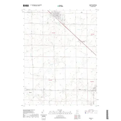
2019 Map of Fowler
USGS Topo · Published 2019About this map
Fowler serves as the prominent northern hub of this Benton County landscape, where a precise grid of numbered streets like E 6th St and E Main St anchors the local commerce. The surrounding terrain is defined by a sophisticated agricultural drainage system, including Humbert Ditch, Wattles Ditch, and Seamans Ditch, which channel water toward larger arteries like Mud Pine Creek. These waterworks highlight the intensive land management required for the region's productive prairie soils.
Find a feature on this map
54 named features on this map. Tap any name to fly to it.
Don’t see what you’re looking for? This feature index may not catch every label — zoom into the map to look around manually.
Map Details
Editions of this 2019 Fowler Map
This is the sole edition of this map. No revisions or reprints were ever made.
Other maps of this area

1953 · Danville
USGS Topo · 1:250,000

1955 · Danville
USGS Topo · 1:250,000

1956 · Danville
USGS Topo · 1:250,000

1961 · Chatterton
USGS Topo · 1:24,000

1961 · Tab
USGS Topo · 1:24,000

1961 · Pine Village
USGS Topo · 1:24,000

1962 · Mount Gilboa
USGS Topo · 1:24,000

1962 · Wadena
USGS Topo · 1:24,000

1962 · Templeton
USGS Topo · 1:24,000

1962 · Boswell
USGS Topo · 1:24,000