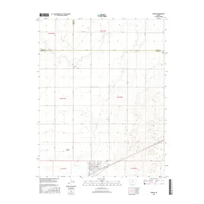
2016 Map of Fowler
USGS Topo · Published 2016About this map
Fowler serves as the primary hub of this High Plains landscape where Meade, Ford, and Gray Counties meet. The town site is meticulously detailed with its street grid, including Kansas St, Church St, and Elm St, adjacent to Old US Hwy 54. To the west, the expansive Artesian Valley highlights the unique hydrology of the region, while Crooked Creek meanders north through the quadrangle, carving a distinct path through the section lines. Local history and genealogy are anchored by two rural burial sites, McCauley Cemetery and Wilburn Cemetery, which sit along the straight-edged county roads that define the regional transport pattern. The presence of the Fowler Airport and a network of named routes like Zane Rd and Yucca Rd illustrates the modern connectivity of this agricultural corridor.
Find a feature on this map
43 named features on this map. Tap any name to fly to it.
Don’t see what you’re looking for? This feature index may not catch every label — zoom into the map to look around manually.
Map Details
Editions of this 2016 Fowler Map
This is the sole edition of this map. No revisions or reprints were ever made.
Other maps of this area

1892 · Meade
USGS Topo · 1:125,000

1892 · Dodge
USGS Topo · 1:125,000

1955 · Dodge City
USGS Topo · 1:250,000

1958 · Dodge City
USGS Topo · 1:250,000

1959 · Dodge City
USGS Topo · 1:250,000

1963 · Meade
USGS Topo · 1:24,000

1967 · Fowler SE
USGS Topo · 1:24,000

1967 · Fowler SW
USGS Topo · 1:24,000

1967 · Minneola
USGS Topo · 1:24,000

1969 · Meade NE
USGS Topo · 1:24,000