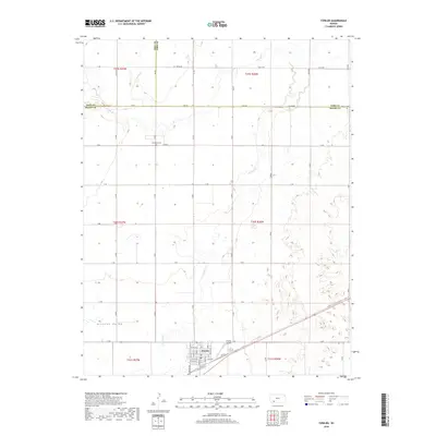
2018 Map of Fowler
USGS Topo · Published 2018About this map
The town of Fowler sits at the southern edge of this West Kansas landscape, situated near the head of the Artesian Valley. This region, where the borders of Meade, Gray, and Ford counties converge, is defined by the wandering path of Crooked Cr as it carves through the High Plains. The map reveals a structured grid of rural roads, including Old US Hwy 54, which connects the local community to the broader region. Outside the township, family and local history are anchored by sites such as McCauley Cem and Wilburn Cem, which stand as markers of early settlement in these prairie counties. To the east of the town center, the Fowler Airport serves as a modern landmark in a terrain otherwise dominated by agricultural sections and the natural hydrology of the creek system.
Find a feature on this map
31 named features on this map. Tap any name to fly to it.
Don’t see what you’re looking for? This feature index may not catch every label — zoom into the map to look around manually.
Map Details
Editions of this 2018 Fowler Map
This is the sole edition of this map. No revisions or reprints were ever made.
Other maps of this area

1892 · Meade
USGS Topo · 1:125,000

1892 · Dodge
USGS Topo · 1:125,000

1955 · Dodge City
USGS Topo · 1:250,000

1958 · Dodge City
USGS Topo · 1:250,000

1959 · Dodge City
USGS Topo · 1:250,000

1963 · Meade
USGS Topo · 1:24,000

1967 · Fowler SE
USGS Topo · 1:24,000

1967 · Fowler SW
USGS Topo · 1:24,000

1967 · Minneola
USGS Topo · 1:24,000

1969 · Meade NE
USGS Topo · 1:24,000