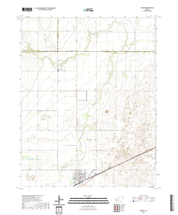
2022 Map of Fowler
USGS Topo · Published 2022About this map
Fowler serves as the primary hub in this southwestern Kansas landscape, situated near the head of the Artesian Valley. The town's grid is clearly defined, featuring streets such as W Lea St and E 8th Ave, while the Fowler Airport sits just to the east. The terrain is shaped by the winding path of Crooked Cr, which meanders through the central and northern sections of the map, crossing multiple section lines and rural thoroughfares like Zane Rd.
Find a feature on this map
32 named features on this map. Tap any name to fly to it.
Don’t see what you’re looking for? This feature index may not catch every label — zoom into the map to look around manually.
Map Details
Editions of this 2022 Fowler Map
This is the sole edition of this map. No revisions or reprints were ever made.
Other maps of this area

1892 · Meade
USGS Topo · 1:125,000

1892 · Dodge
USGS Topo · 1:125,000

1955 · Dodge City
USGS Topo · 1:250,000

1958 · Dodge City
USGS Topo · 1:250,000

1959 · Dodge City
USGS Topo · 1:250,000

1963 · Meade
USGS Topo · 1:24,000

1967 · Fowler SE
USGS Topo · 1:24,000

1967 · Fowler SW
USGS Topo · 1:24,000

1967 · Minneola
USGS Topo · 1:24,000

1969 · Meade NE
USGS Topo · 1:24,000