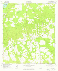
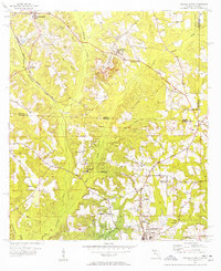
1974 Map of Fowlstown
USGS Topo · Published 1976About this map
The Flint River and the upper reaches of Lake Seminole define the northwestern corner of this 1970s Decatur County landscape. The settlement of Fowlstown sits centrally at a junction of the Seaboard Coast Line railroad, serving as a focal point for a rural community defined by timber and agriculture. Numerous country churches and family burial grounds are scattered throughout the quadrangle, including John the Baptist Ch and Green Shade Cem, providing valuable landmarks for genealogists and local historians.
Find a feature on this map
27 named features on this map. Tap any name to fly to it.
Don’t see what you’re looking for? This feature index may not catch every label — zoom into the map to look around manually.
Map Details
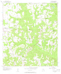
Editions of this 1974 Fowlstown Map
This is the sole edition of this map. No revisions or reprints were ever made.
Other maps of this area

1954 · Tallahassee
USGS Topo · 1:250,000
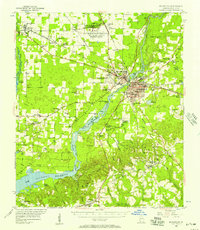
1955 · Bainbridge
USGS Topo · 1:62,500
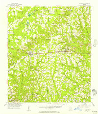
1955 · Whigham
USGS Topo · 1:62,500
1955 · Mt Pleasant
USGS Topo · 1:24,000
1956 · Havana North
USGS Topo · 1:24,000
1956 · Dogtown
USGS Topo · 1:24,000

1959 · Tallahassee
USGS Topo · 1:250,000

1960 · Tallahassee
USGS Topo · 1:250,000
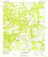
1974 · Bainbridge
USGS Topo · 1:24,000
1974 · Faceville
USGS Topo · 1:24,000