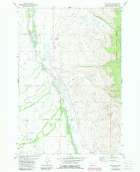
1978 Map of Fox Gulch
USGS Topo · Published 1989About this map
The Big Hole River winds through this Beaverhead County landscape, defining a broad valley floor characterized by extensive wetlands and ranching operations. The map documents the intricate water system of the region, where Big Swamp Creek and Little Swamp Creek feed into the main river channel amidst a network of irrigation ditches. This 1978 survey highlights the enduring presence of family-named agricultural holdings, including the 40-Bar Ranch, Hirschy Ranch, and Willow Ranch, alongside local transport markers like Nelson Lane and Jorgenson Lane. To the east, the terrain rises sharply into the timbered slopes of the Beaverhead National Forest, cut by deep drainages such as Fox Gulch and Broomfield Gulch. The presence of the Popularis Cem and the Hirschy Landing Strip illustrates the localized infrastructure of this high-country ranching community during the late twentieth century.
Find a feature on this map
22 named features on this map. Tap any name to fly to it.
Don’t see what you’re looking for? This feature index may not catch every label — zoom into the map to look around manually.
Map Details
Editions of this 1978 Fox Gulch Map
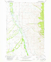
2 editions found
Other maps of this area

1955 · Dillon
USGS Topo · 1:250,000

1957 · Dillon
USGS Topo · 1:250,000

1958 · Dillon
USGS Topo · 1:250,000

1962 · Dillon
USGS Topo · 1:250,000

1962 · Wisdom
USGS Topo · 1:24,000

1962 · Stewart Mountain
USGS Topo · 1:24,000

1965 · Dillon
USGS Topo · 1:250,000

1966 · Miner Lake
USGS Topo · 1:24,000
1966 · Ajax Ranch
USGS Topo · 1:24,000
1966 · Highland Ranch
USGS Topo · 1:24,000