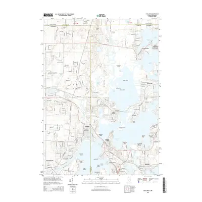
2015 Map of Fox Lake
USGS Topo · Published 2015About this map
Pistakee Lake and the winding Fox River serve as the centerpiece of this Chain O'Lakes landscape, where water and land intricately overlap across the Illinois and Wisconsin border. The area is defined by its extensive wetland systems and numerous islands, including Crabapple Island, Kings Island, and Riverside Island. Settlement patterns are concentrated along the shorelines, with established communities like Fox Lake, Antioch, and Spring Grove punctuating the marshy terrain.
Find a feature on this map
69 named features on this map. Tap any name to fly to it.
Don’t see what you’re looking for? This feature index may not catch every label — zoom into the map to look around manually.
Map Details
Editions of this 2015 Fox Lake Map
This is the sole edition of this map. No revisions or reprints were ever made.
Other maps of this area

1893 · Silver Lake
USGS Topo · 1:62,500

1893 · Geneva
USGS Topo · 1:62,500

1904 · Lake Geneva
USGS Topo · 1:62,500

1906 · Silver Lake
USGS Topo · 1:62,500

1906 · Lake Geneva
USGS Topo · 1:62,500

1920 · Grays Lake
USGS Topo · 1:62,500

1923 · Grays Lake
USGS Topo · 1:62,500

1926 · Mc Henry
USGS Topo · 1:62,500

1944 · McHenry
USGS Topo · 1:62,500

1954 · Rockford
USGS Topo · 1:250,000