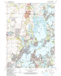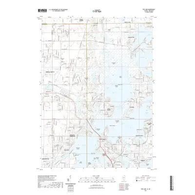
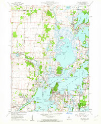
1960 Map of Fox Lake
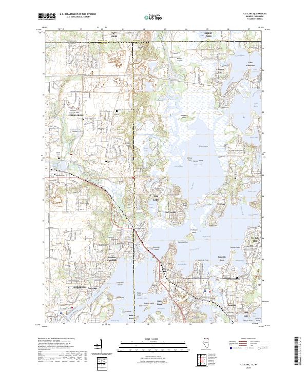
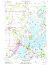
USGS Topo · Published 1983About this map
The glacial waters of Fox Lake and the Chain O'Lakes State Park define this Northern Illinois borderland, where intricate shorelines meet evolving mid-century recreational developments. Local life centers on the waterfront, with residential clusters like Pistakee Highlands and Lotus Woods illustrating the postwar expansion of communities around the interconnected basins of Grass Lake and Pistakee Lake. The landscape is a mix of natural marshlands and human industry, featuring the Fish Hatchery near Spring Grove and the Wilmot Hills Raceway just across the Wisconsin line.
Find a feature on this map
87 named features on this map. Tap any name to fly to it.
Don’t see what you’re looking for? This feature index may not catch every label — zoom into the map to look around manually.
Map Details
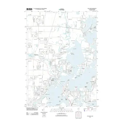
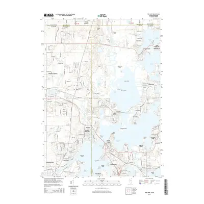
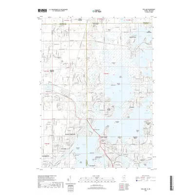
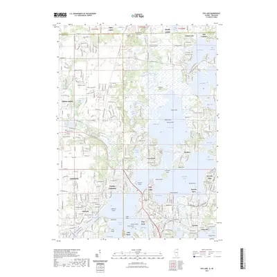
Editions of this 1960 Fox Lake Map
3 editions found
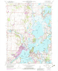
Historical Maps of Salem Lakes Through Time
8 maps found