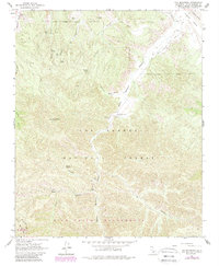
1964 Map of Fox Mountain
USGS Topo · Published 1989About this map
Santa Barbara Canyon forms a winding corridor through this section of the Los Padres National Forest, reaching from the Cuyama Valley in the north down toward the San Rafael Wilderness. The landscape is defined by a complex network of seasonal drainages and named springs, including Goode Spring and Tennison Spring, which provided essential water points in an arid upland environment.
Find a feature on this map
31 named features on this map. Tap any name to fly to it.
Don’t see what you’re looking for? This feature index may not catch every label — zoom into the map to look around manually.
Map Details
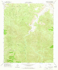
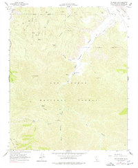
Editions of this 1964 Fox Mountain Map
3 editions found
Other maps of this area

1902 · Santa Ynez
USGS Topo · 1:125,000

1903 · Mt. Pinos
USGS Topo · 1:125,000

1905 · Santa Ynez
USGS Topo · 1:125,000

1942 · Ballinger Canyon
USGS Topo · 1:24,000

1942 · East of Cuyama Ranch
USGS Topo · 1:24,000

1943 · Big Pine Mountain
USGS Topo · 1:31,680

1943 · Cuyama Ranch
USGS Topo · 1:31,680

1943 · Rancho Nuevo Creek
USGS Topo · 1:24,000
1943 · Ballinger Canyon
USGS Topo · 1:24,000

1943 · Cuyama Peak
USGS Topo · 1:24,000