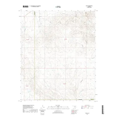
2018 Map of Fox NE
USGS Topo · Published 2018About this map
Hennepin Cem lies in the northern reaches of this landscape, marking a quiet point of local heritage near the boundary of Carter and Murray counties. The terrain is defined by an intricate network of waterways, with Eightmile Cr and Squirrel Cr winding through the central townships. Further south, the topography transitions toward Thomas Hollow and the drainage of Hickory Cr. The map reveals a rural infrastructure of gravel and local roads such as Hill Country Rd and Butterly Rd, which navigate the elevation changes between the creek beds. This modern survey illustrates how long-established landmarks like the cemetery and the natural drainage patterns continue to dictate the layout of this section of Oklahoma's Arbuckle country.
Find a feature on this map
24 named features on this map. Tap any name to fly to it.
Don’t see what you’re looking for? This feature index may not catch every label — zoom into the map to look around manually.
Map Details
Editions of this 2018 Fox NE Map
This is the sole edition of this map. No revisions or reprints were ever made.
Other maps of this area

1898 · Pauls Valley
USGS Topo · 1:125,000

1901 · Ardmore
USGS Topo · 1:125,000

1902 · Pauls Valley
USGS Topo · 1:125,000

1918 · Ardmore
USGS Topo · 1:125,000

1957 · Ardmore
USGS Topo · 1:250,000

1963 · Ardmore
USGS Topo · 1:250,000

1964 · Springer
USGS Topo · 1:24,000

1964 · Turner Falls
USGS Topo · 1:24,000

1965 · Joy
USGS Topo · 1:24,000

1968 · Fox NE
USGS Topo · 1:24,000